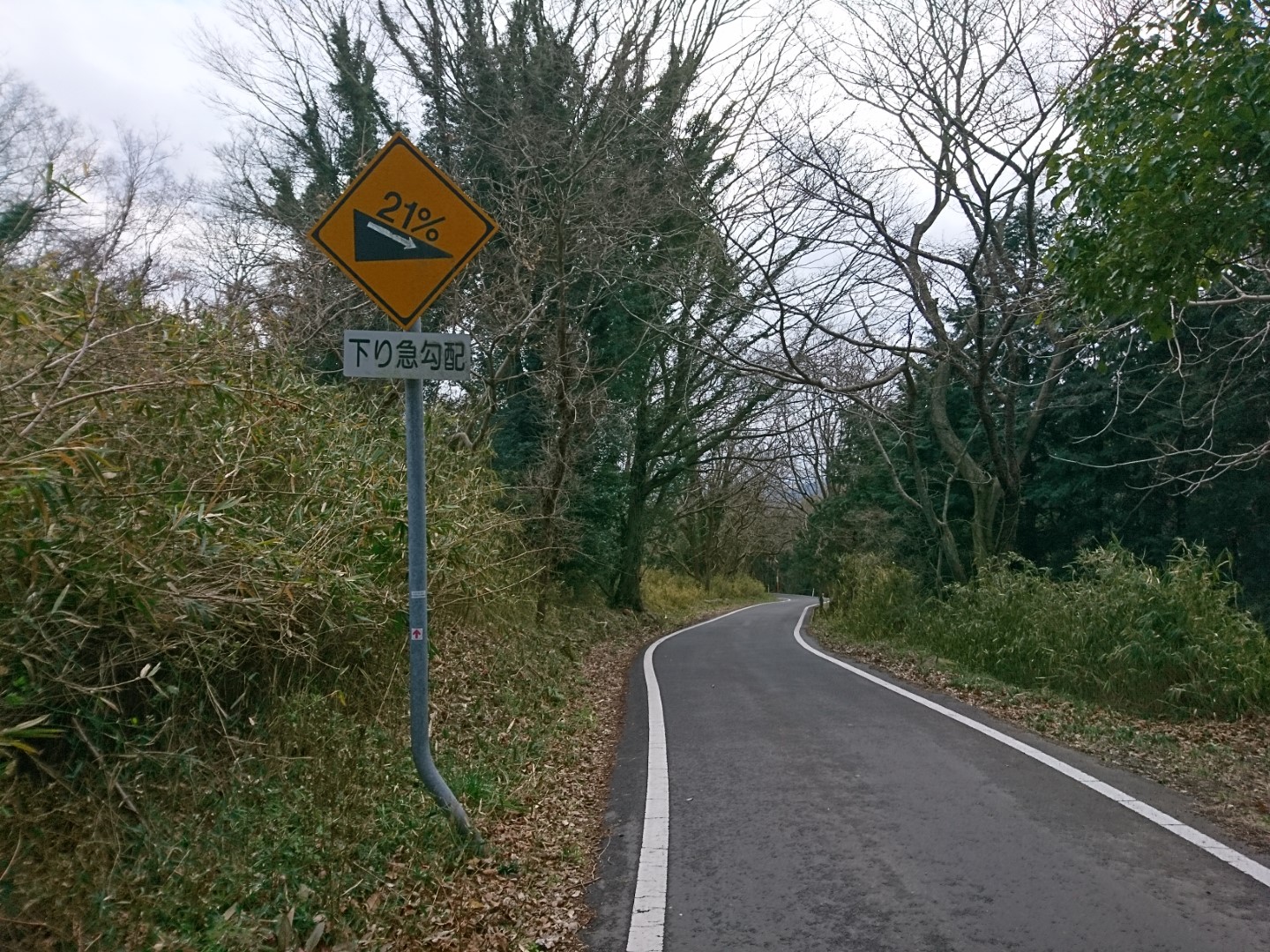
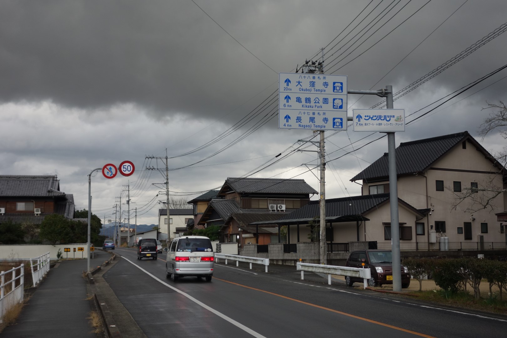
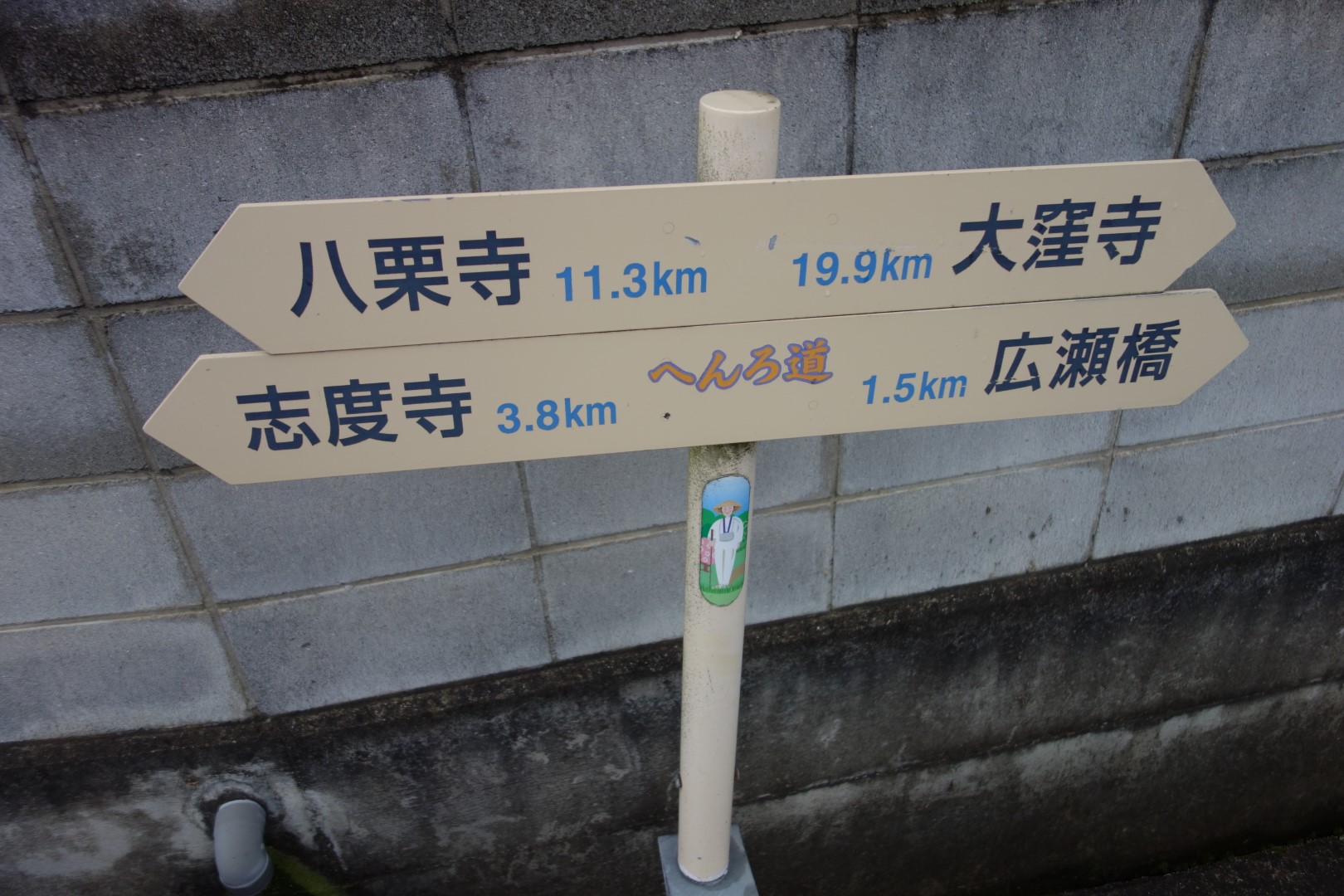
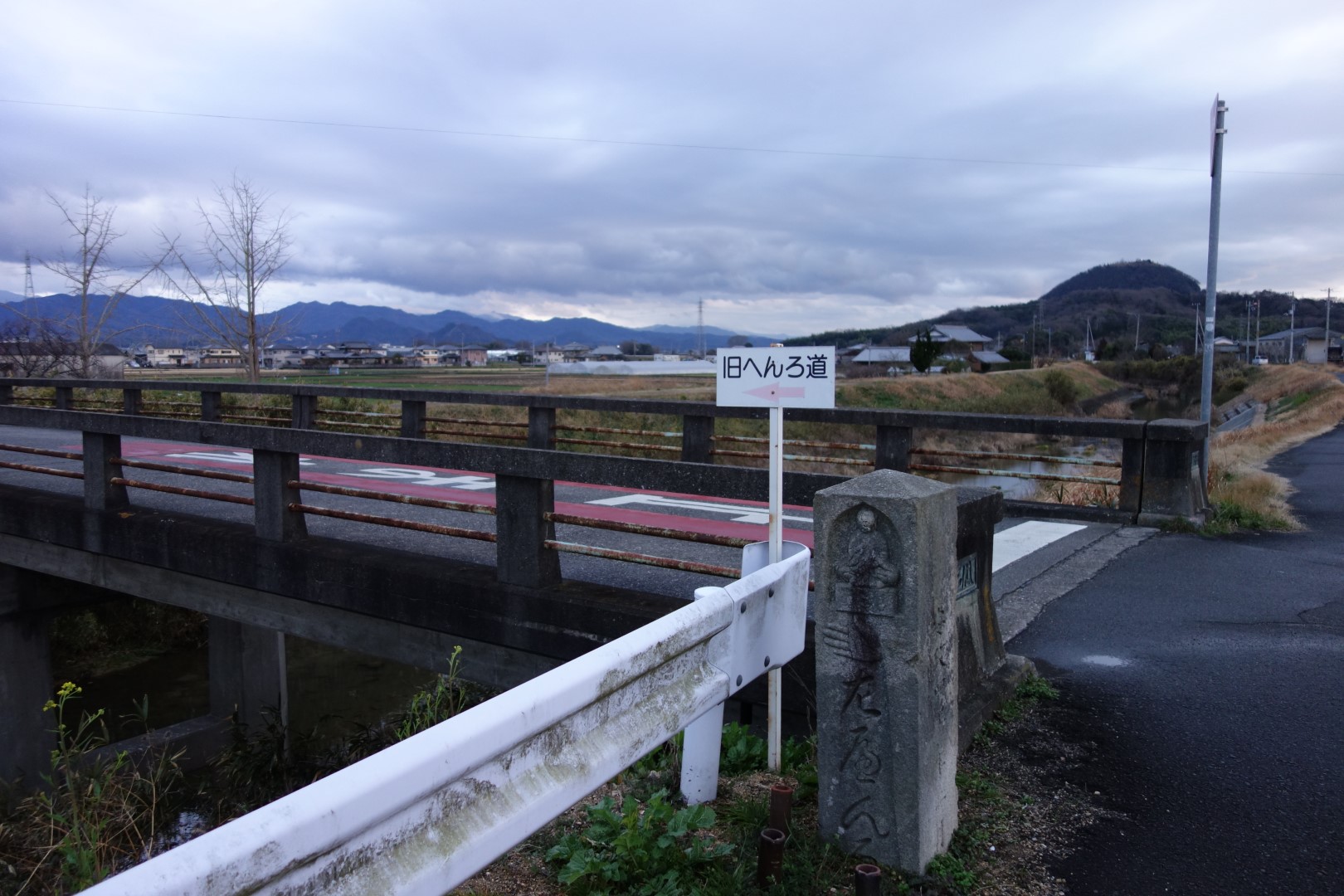
I went back to the signpost that I had checked yesterday and started walking. However, I could not find the next one… I had no choice but to take the map from my backpack, then it guided me to continue on Prefectural Road 172. Even though I continued to walk along Route 172, I still couldn’t find the next one at all.
According to the experienced pilgrim I met at the hotel (this was his fourth pilgrimage!), the road there was too narrow and dangerous, so they didn’t put any signpost. But I thought that would be even more dangerous for people who would walk blindly while looking at the map…
And for some reason, Google Map’s walking navigation system didn’t work at that time… Why does it not work sometimes ? Is it when I enter a big city and there are more and more small roads, or is it because there are only roads that only cars can use ? Whatever it is, it’s pretty annoying 🙁
| Time | Place |
|---|---|
| 07:00 | Departure (D): Tennen Onsen Kirara |
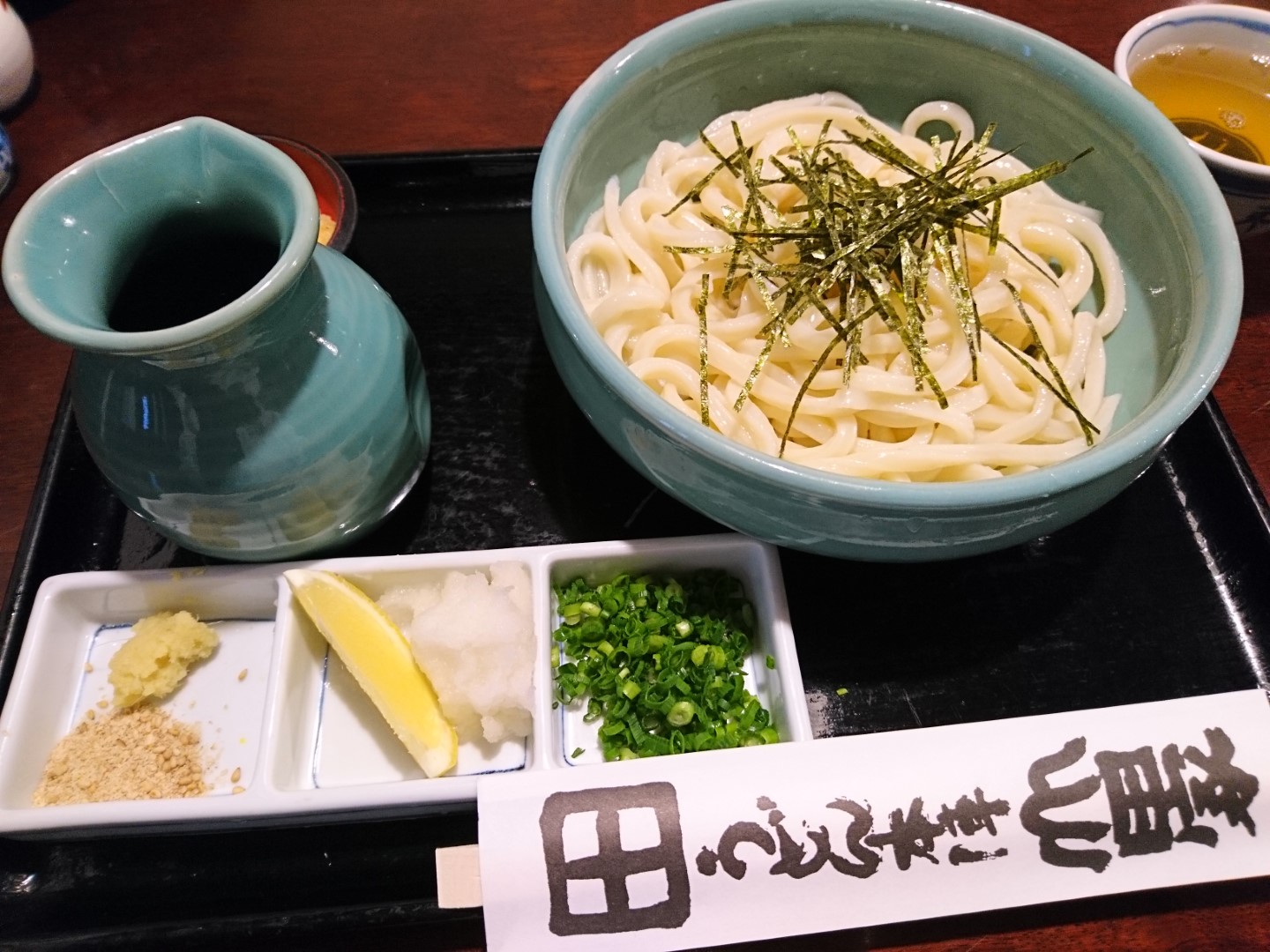
| 08:20 | Breakfast at Udon Baka Ichidai |
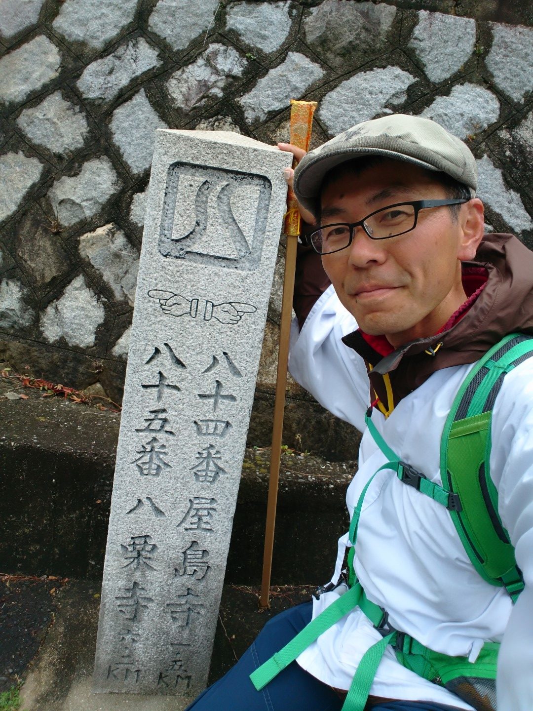
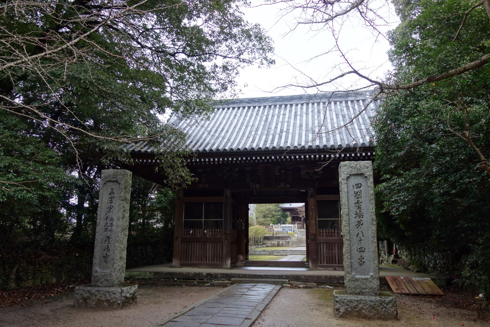
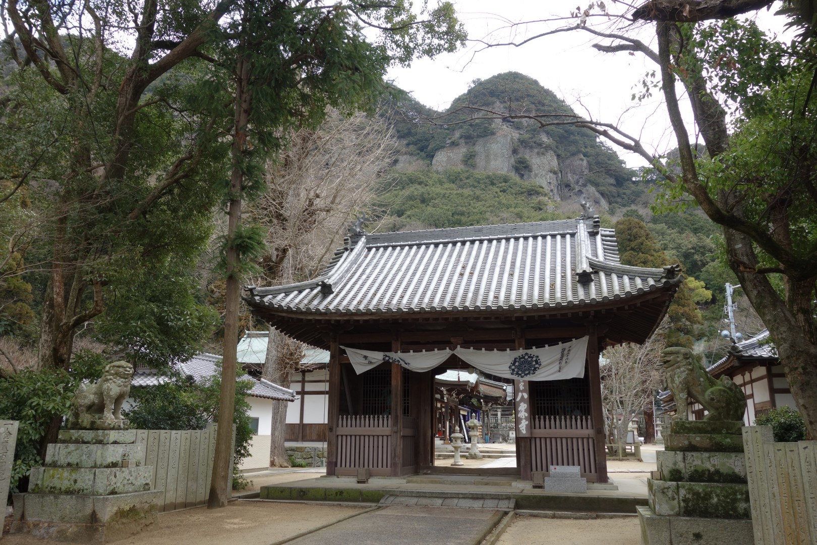
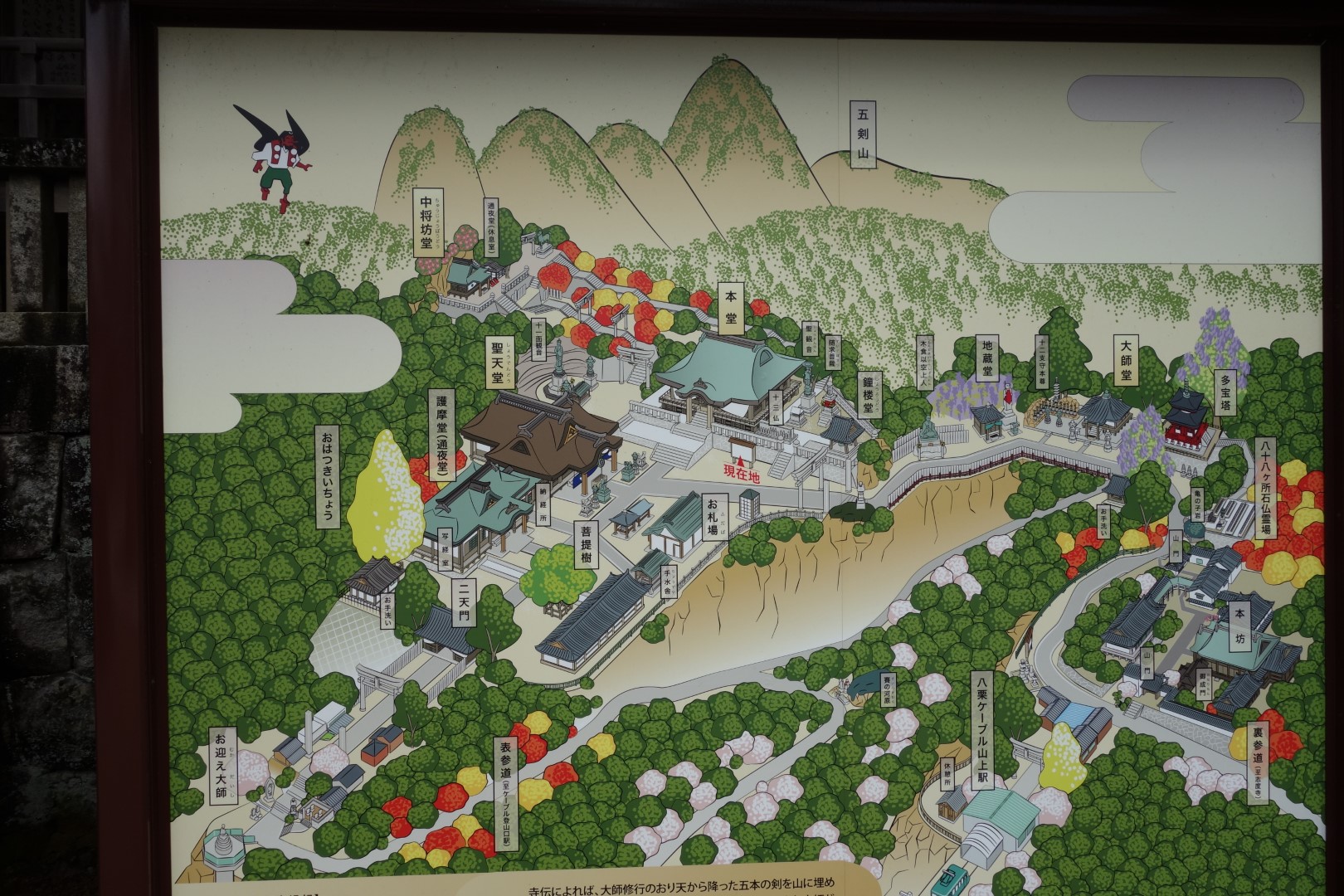
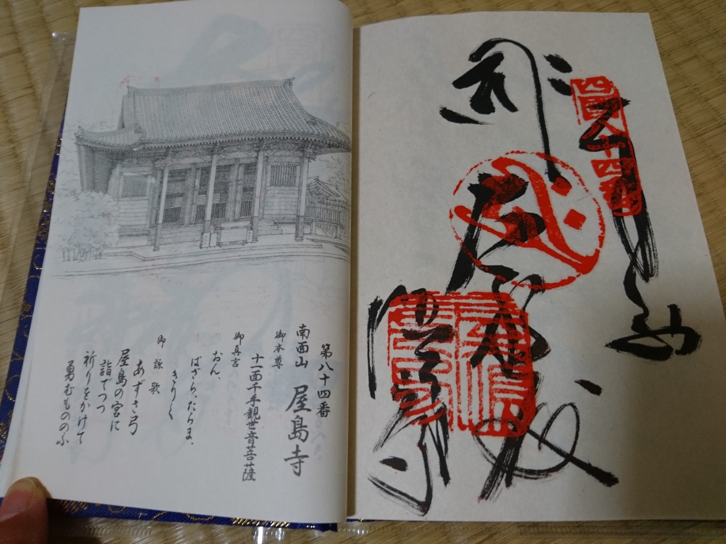
| 08:45 | D: Walk to No.84 Yashima-ji |
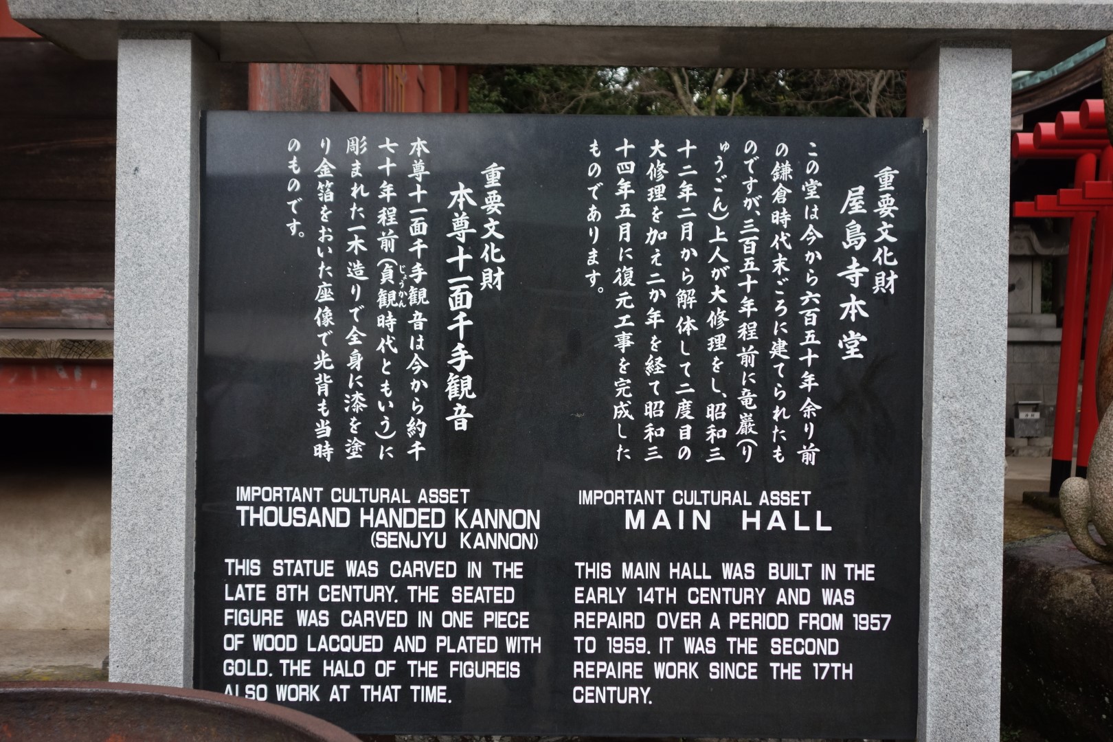
| 10:20 | A: No.84 Yashima-ji |
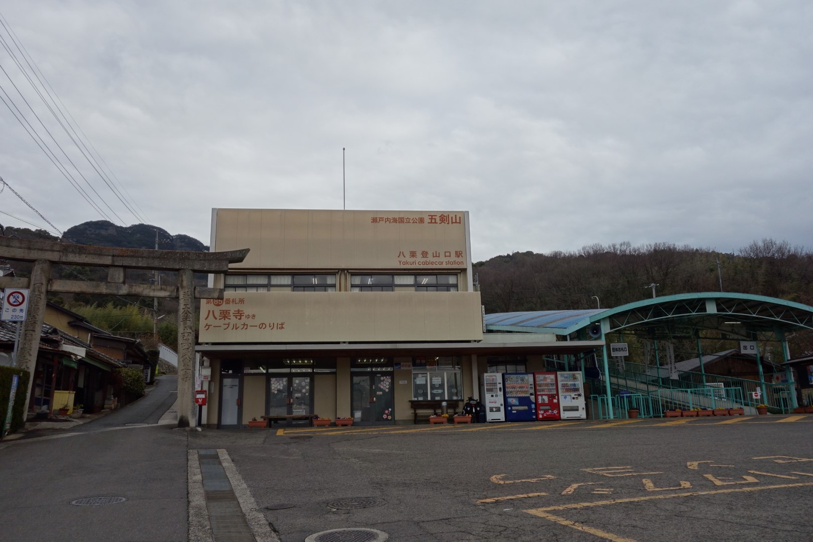
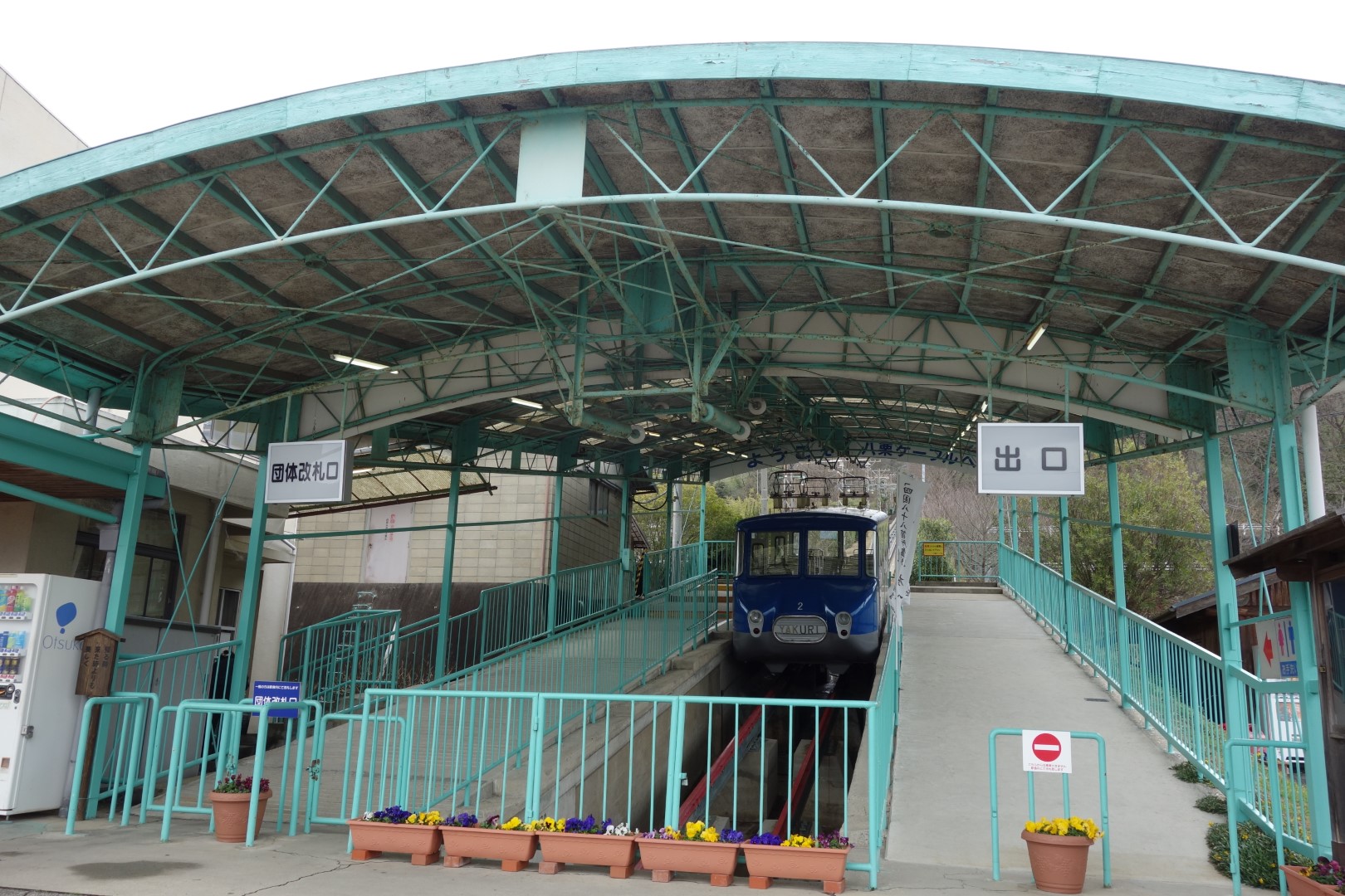
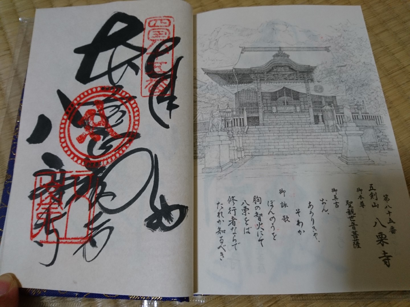
| 10:50 | D: Walk to No.85 Yakuri-ji |
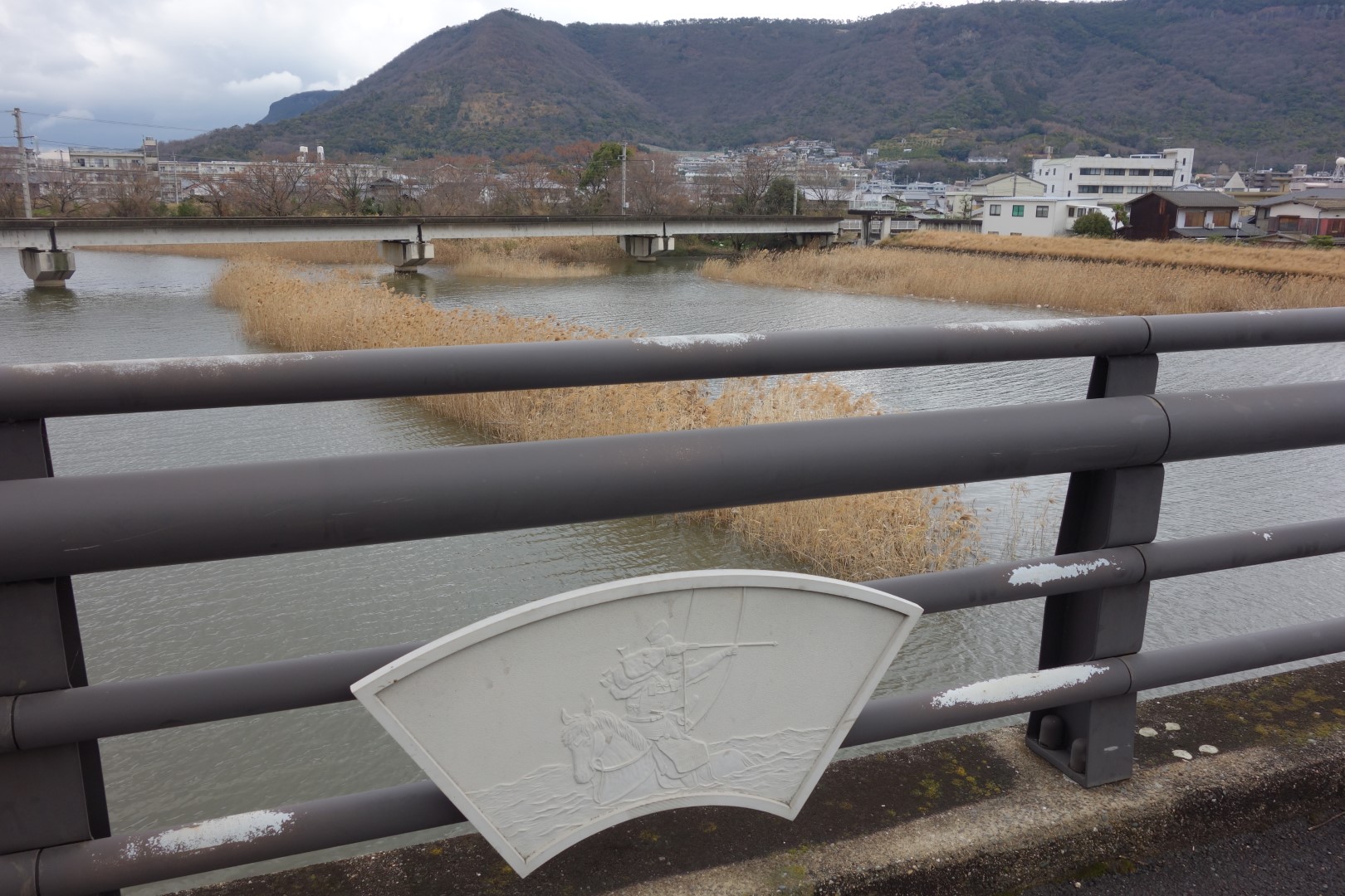
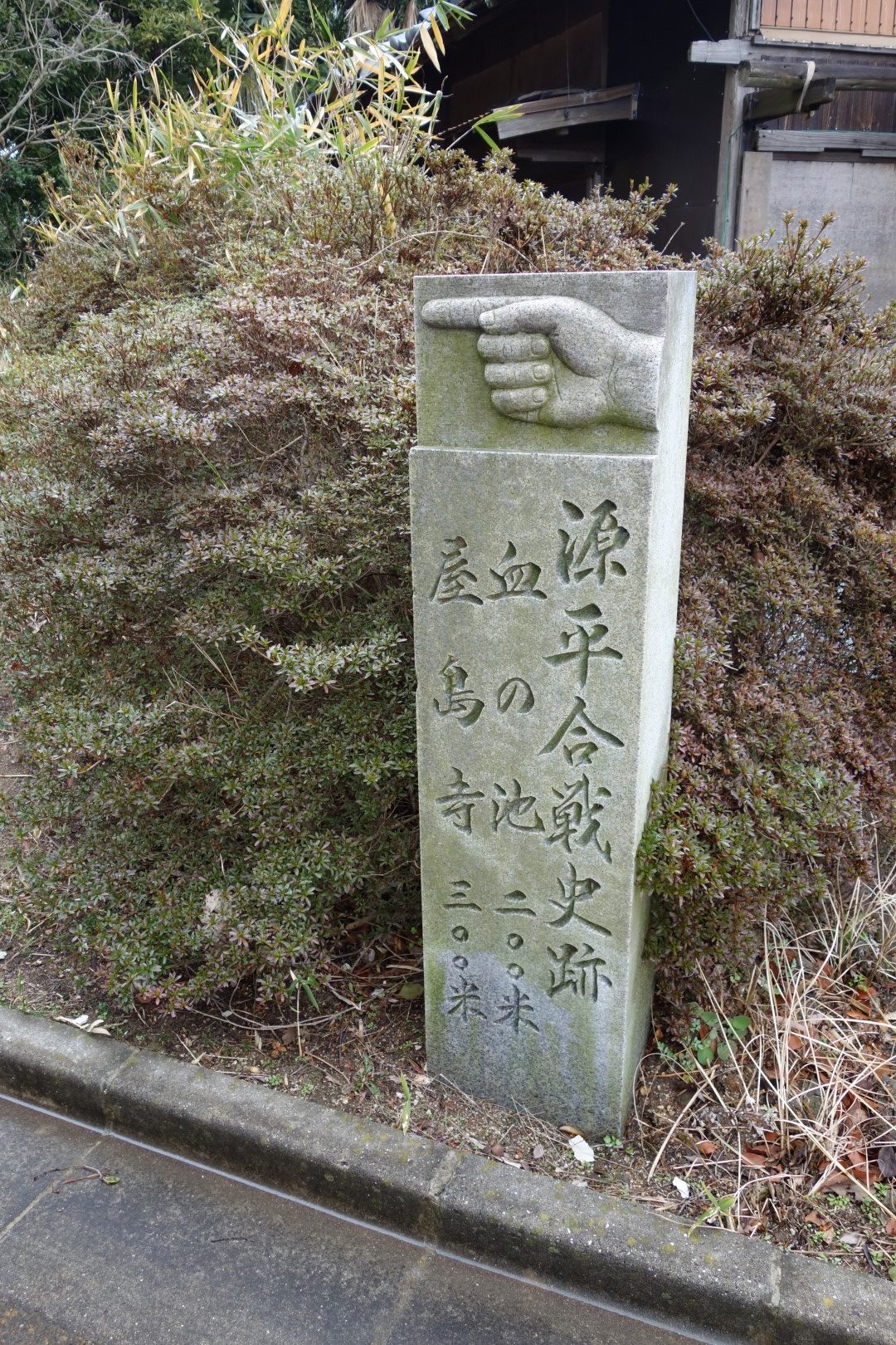
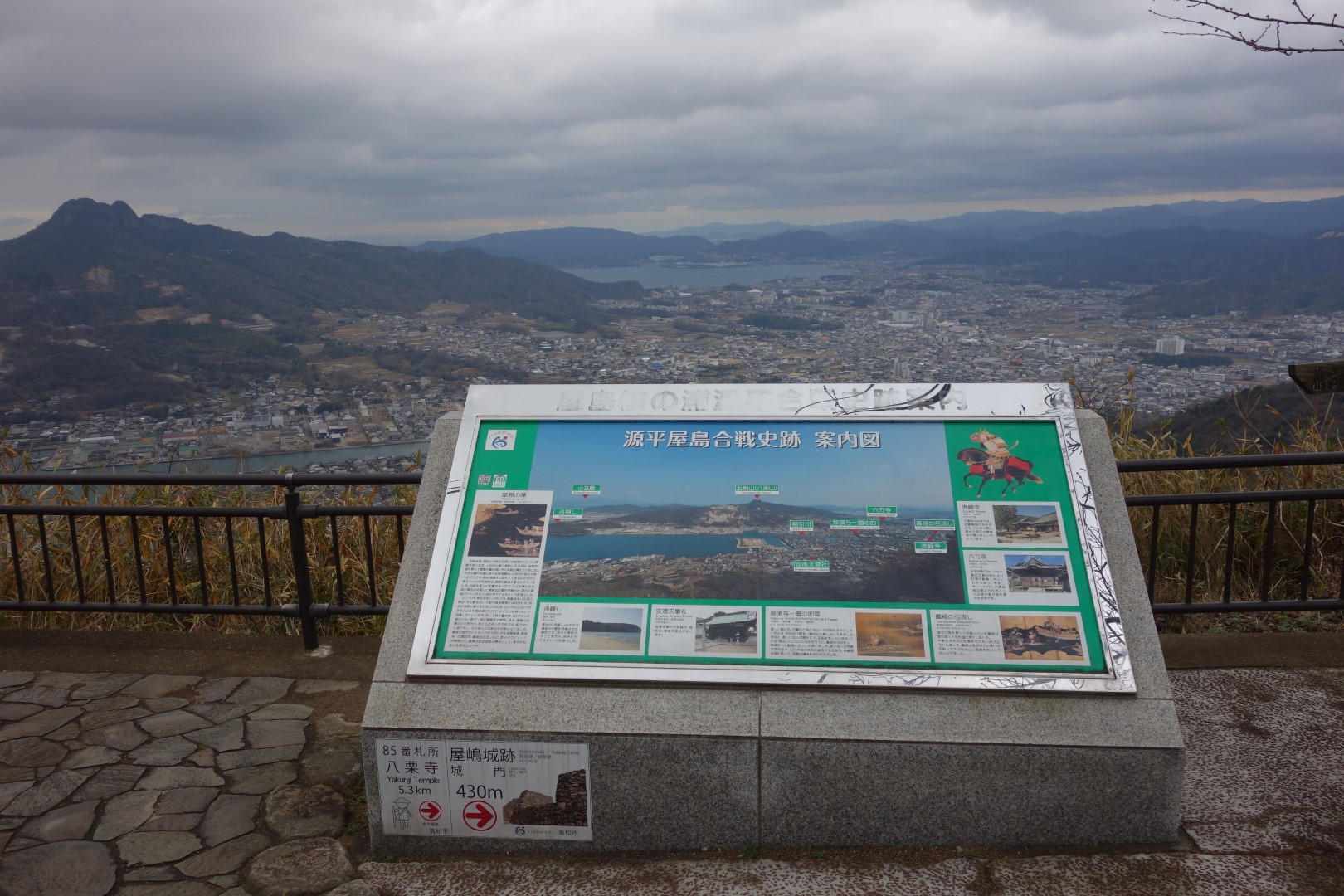
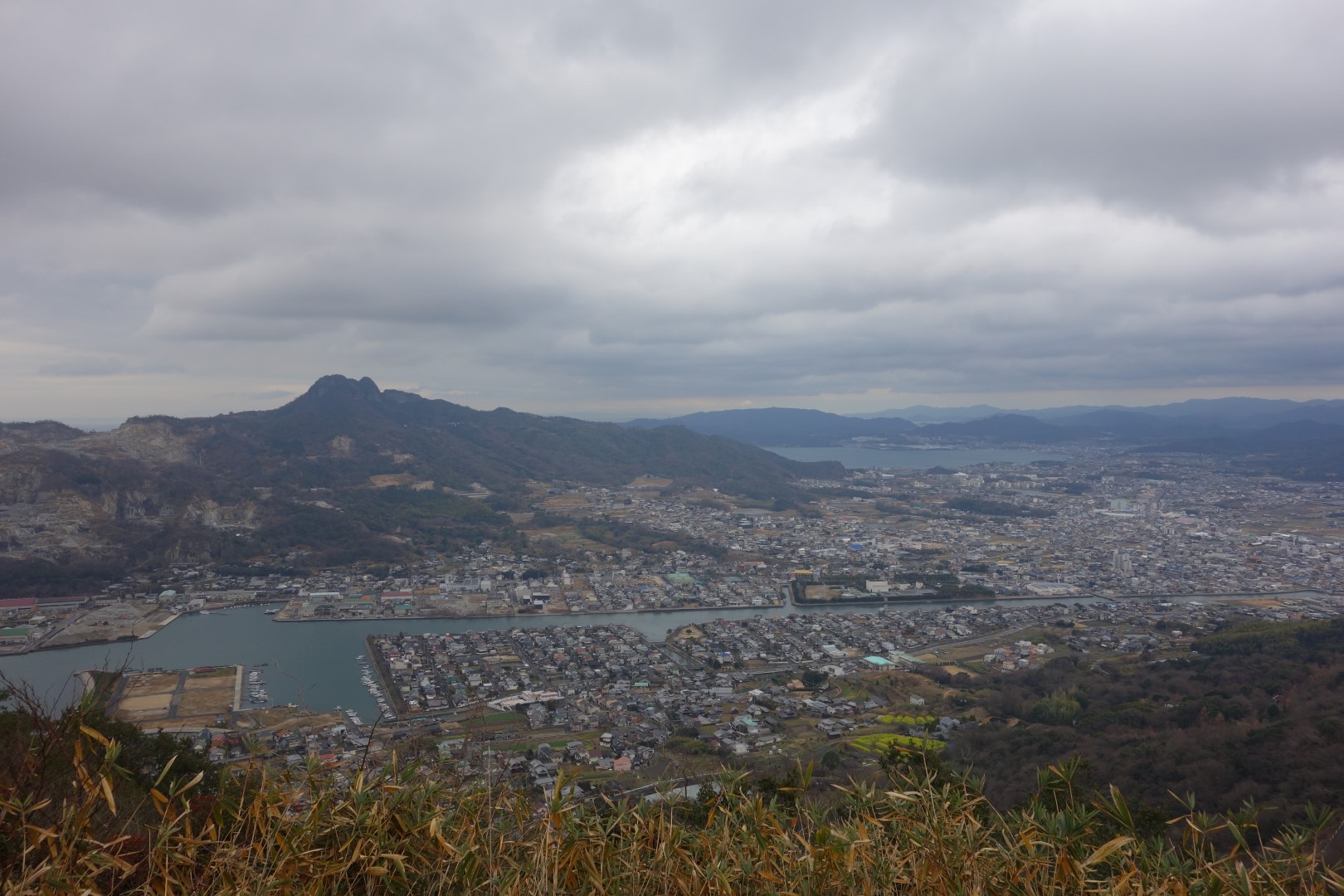
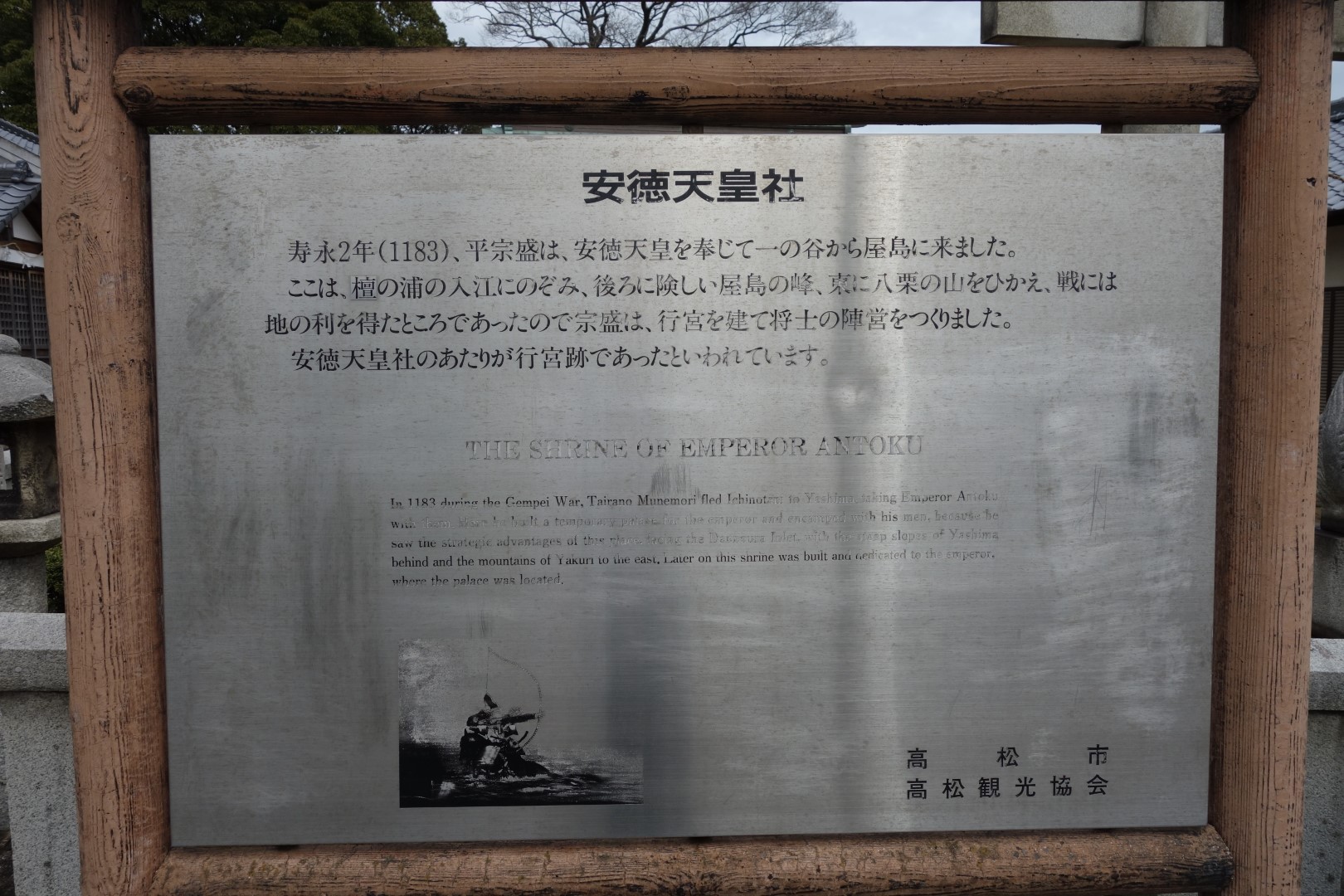
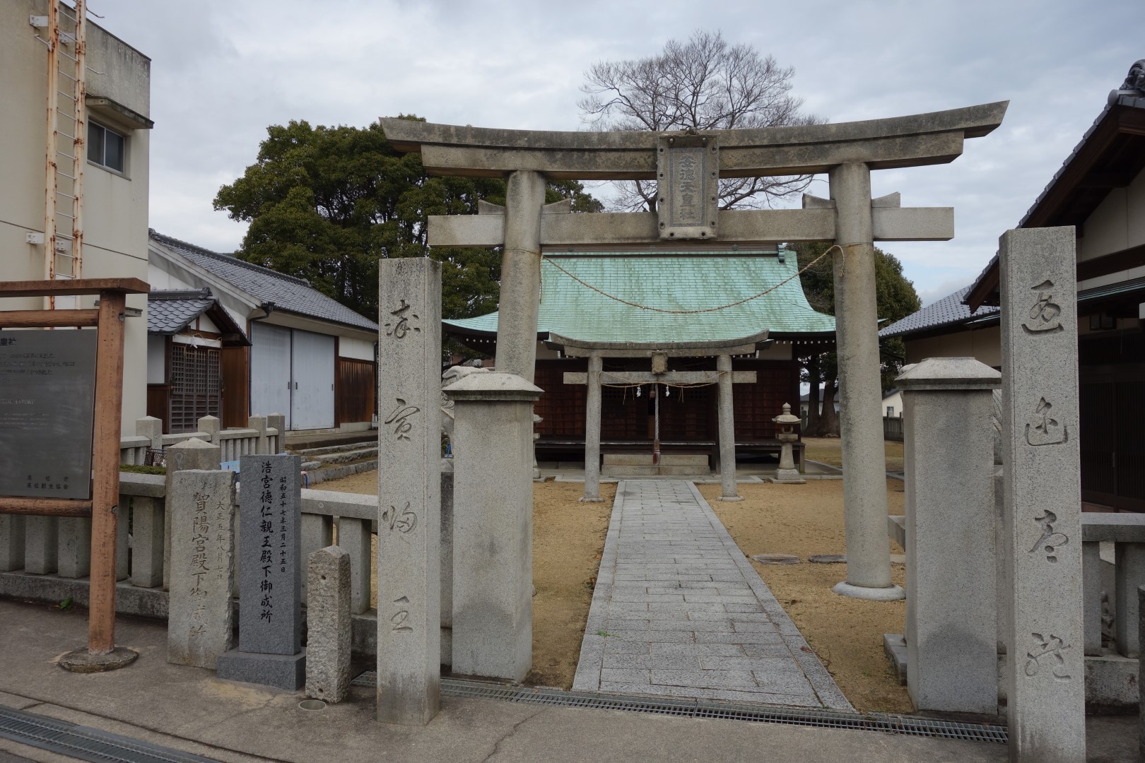
| 11:30 | Sightseeing the sites of the Genpei War |
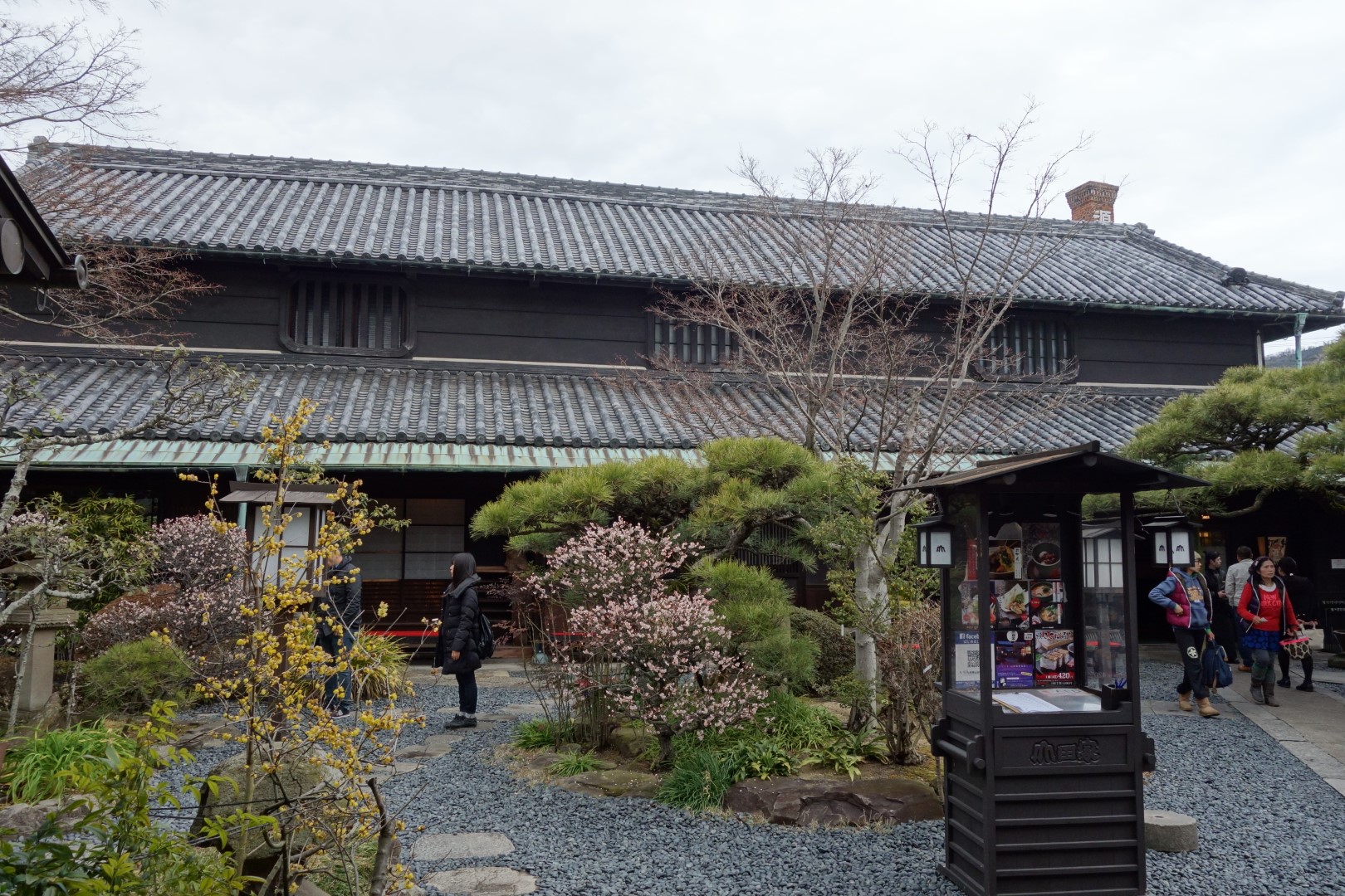
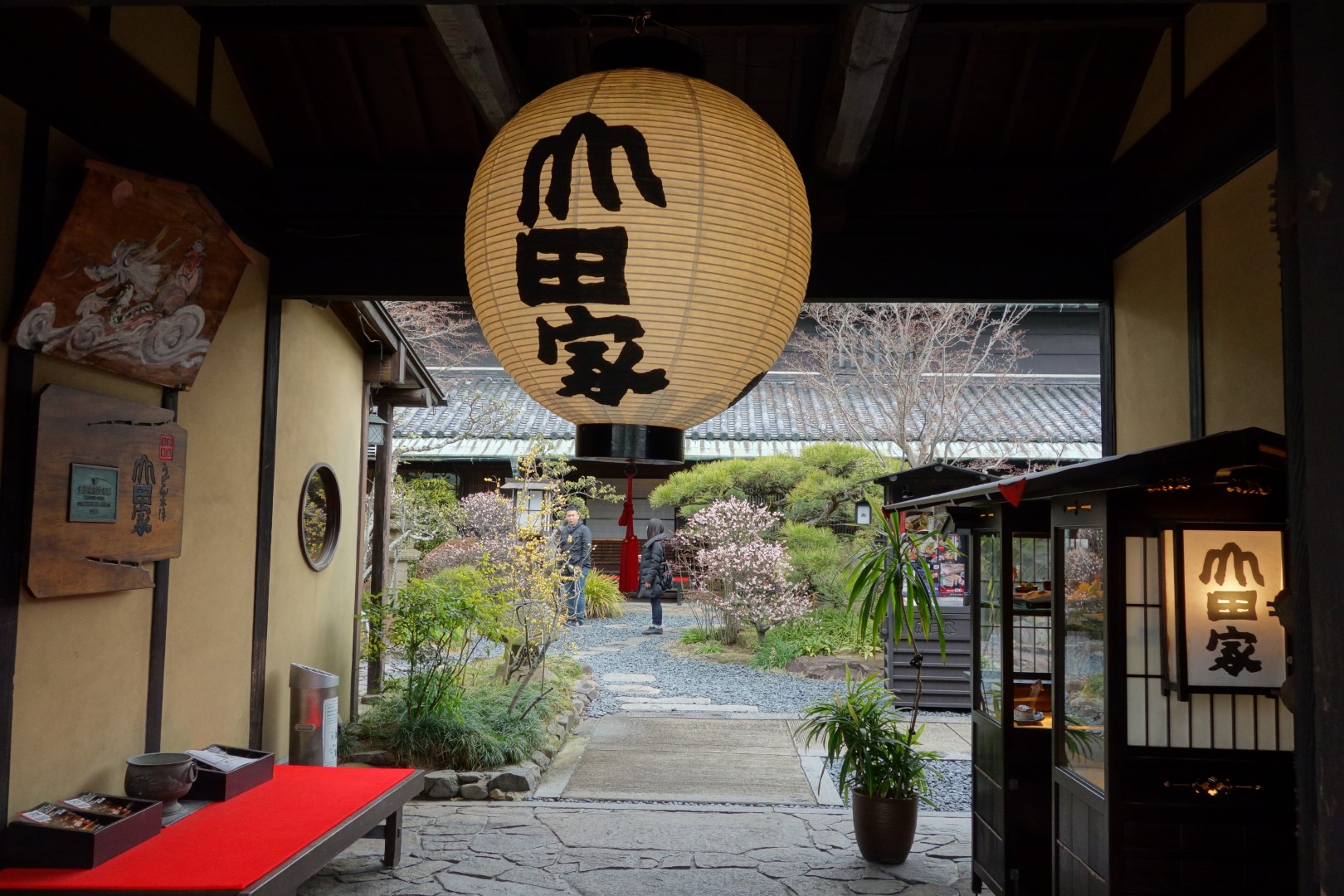
| 12:10 | Lunch at Udon Honjin Yamada-ya Honten |
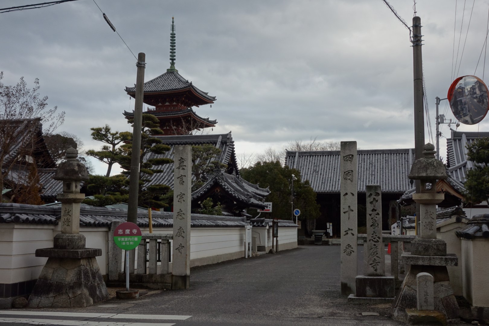
| 13:05 | A: No.85 Yakuri-ji |
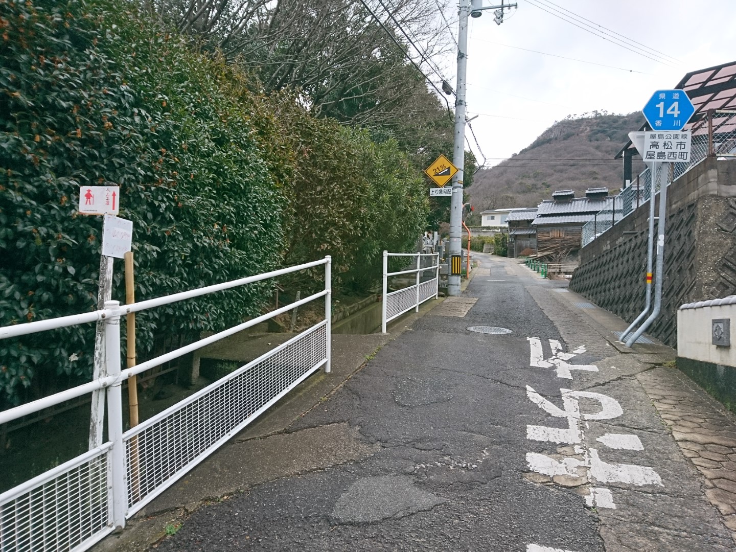
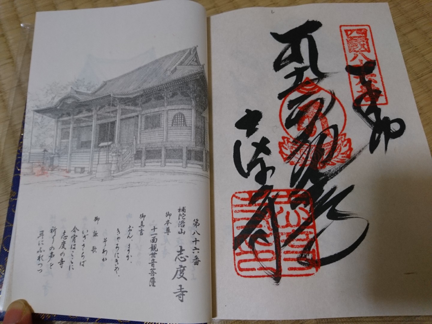
| 13:45 | D: Walk to No.86 Shido-ji |
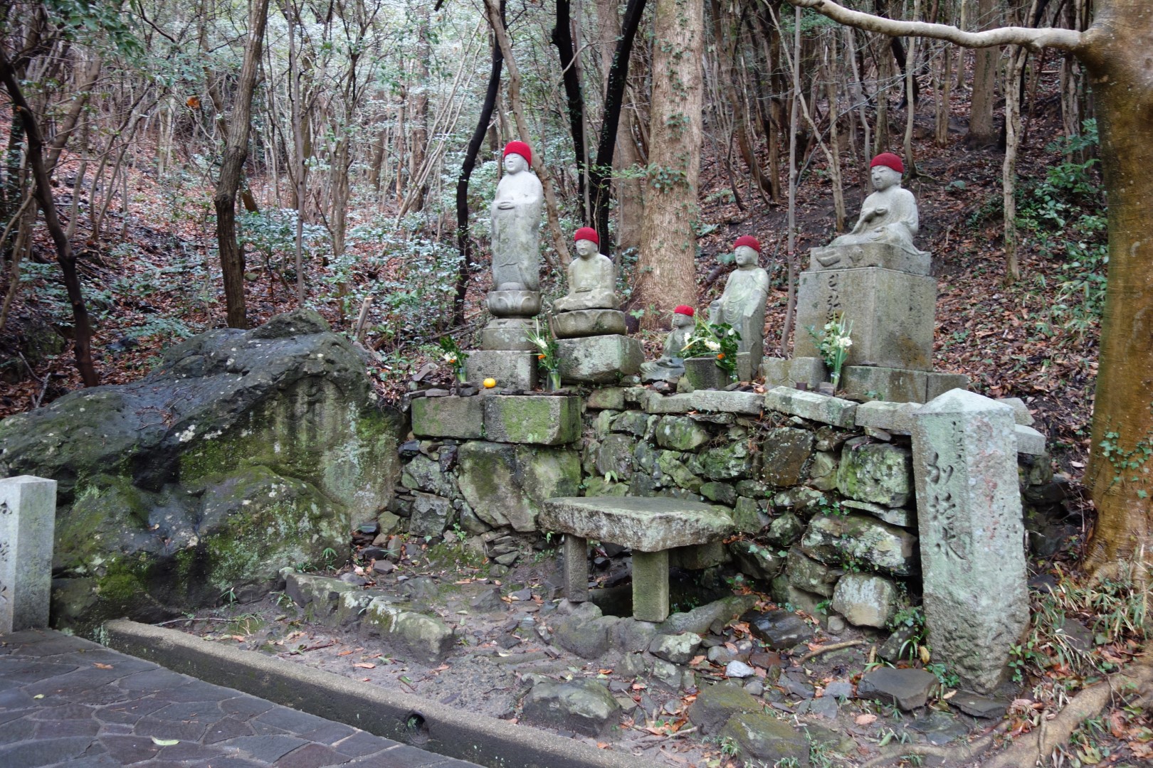
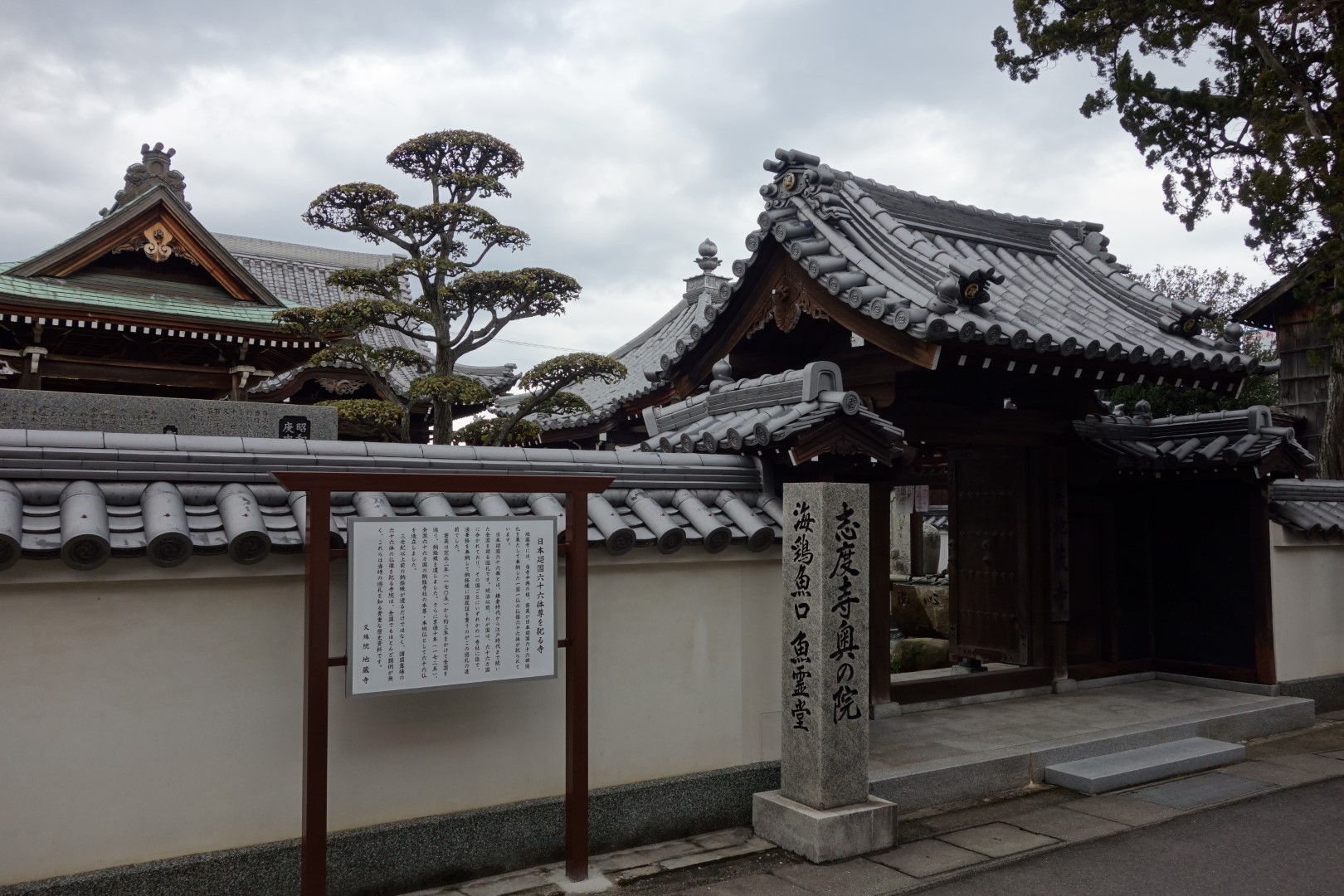
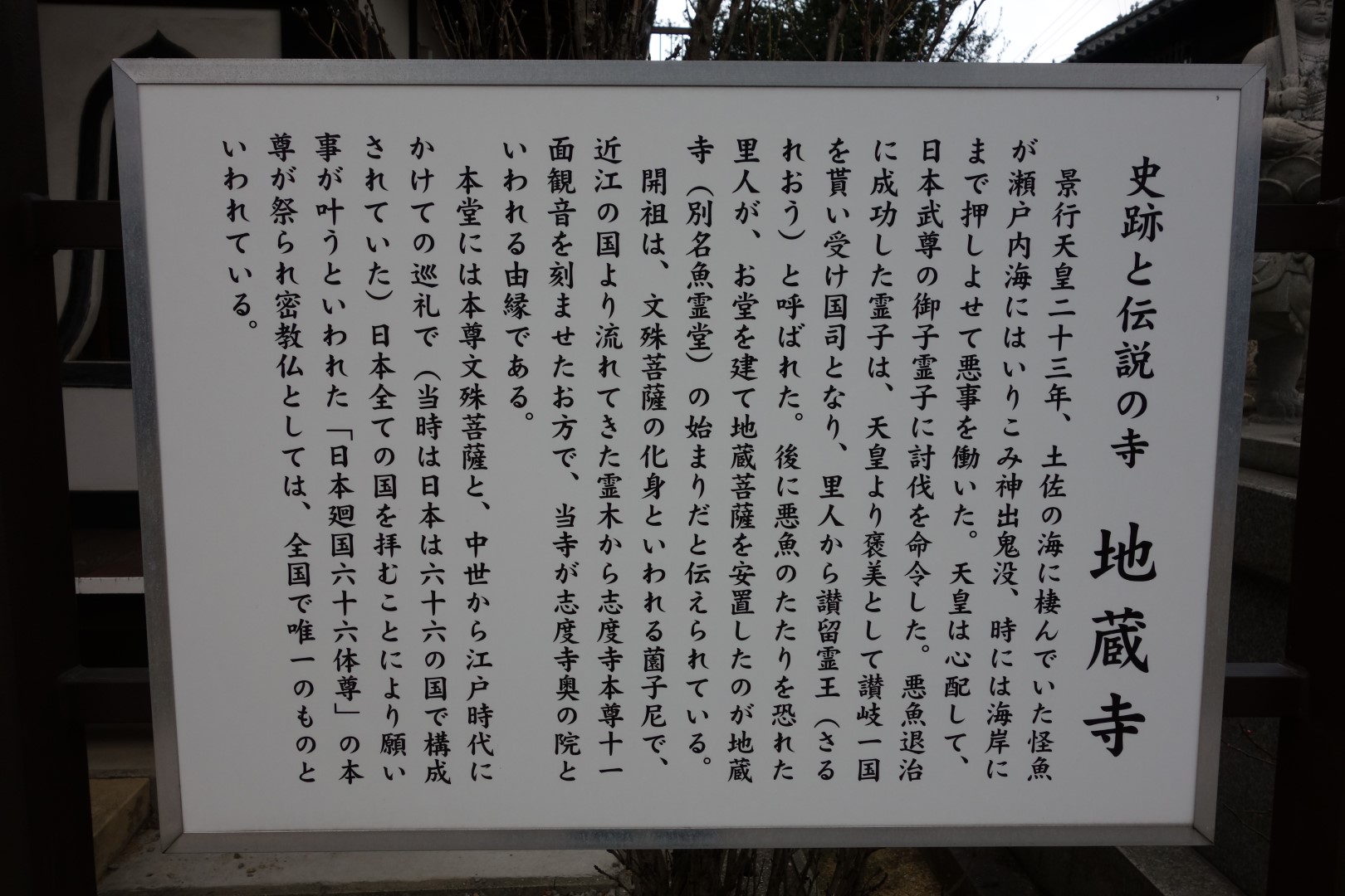
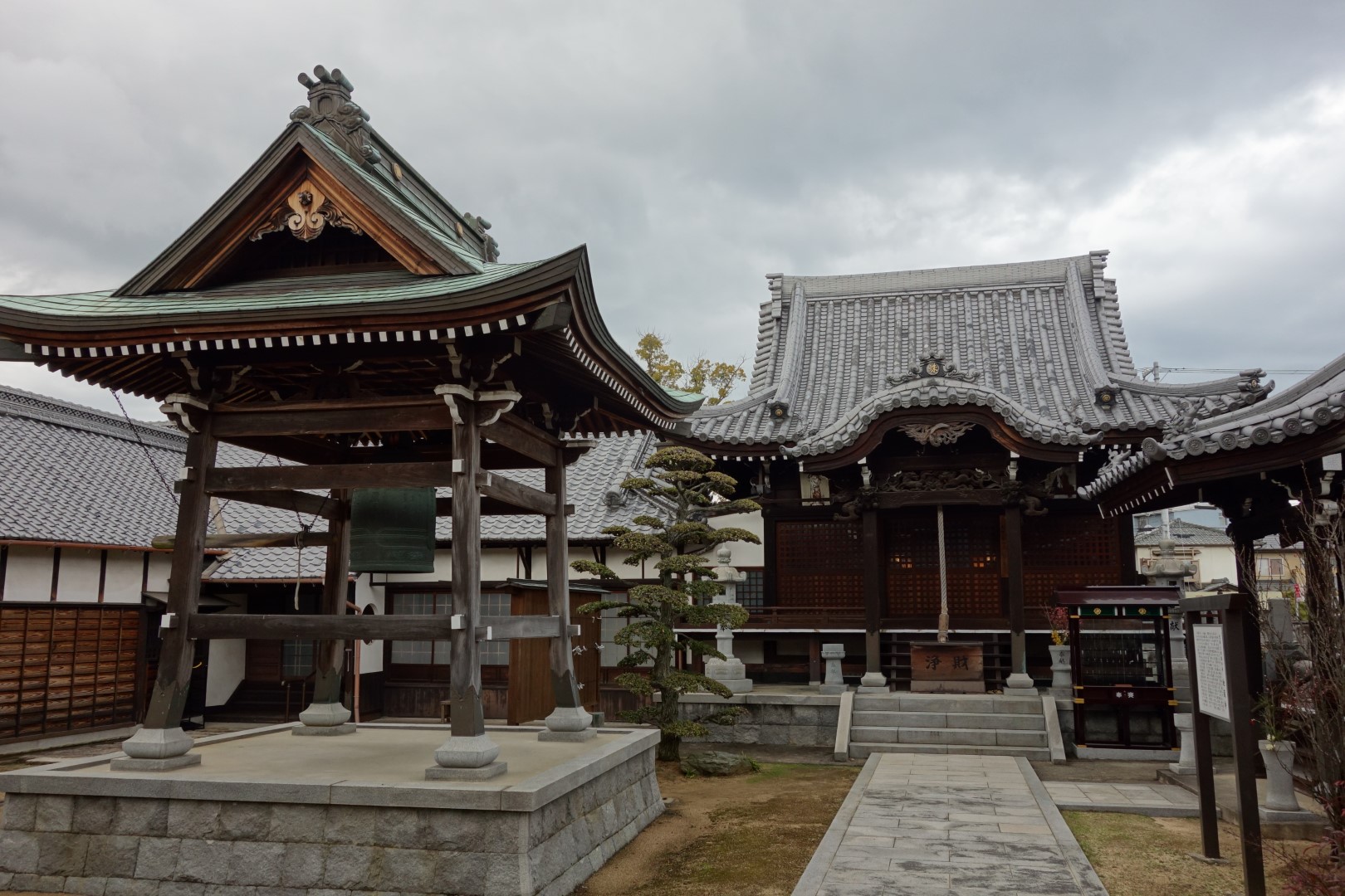
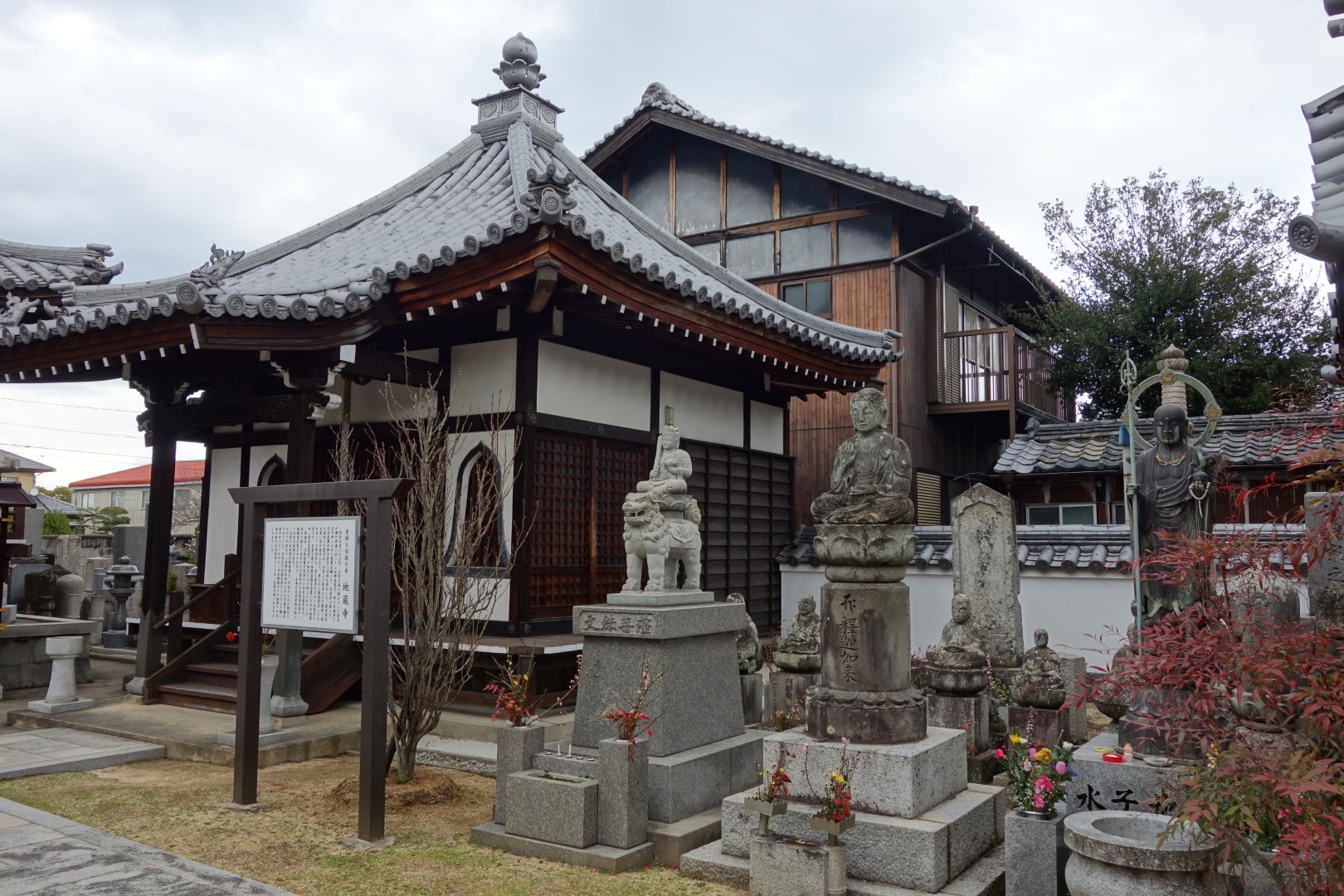
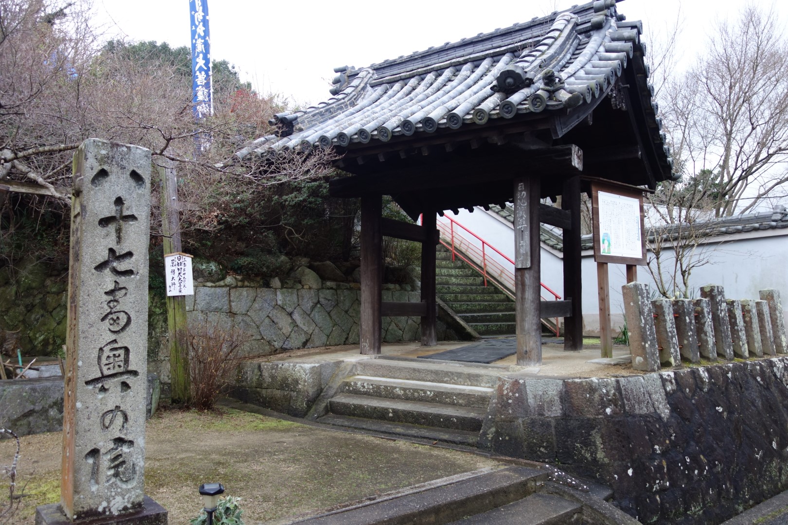
| 15:15 | A: Jizo-ji, inner shrine of No.86 Shido-ji |
| 15:30 | A: No.86 Shido-ji |
| 16:00 | D: Walk to Guest house Nagao-ji |
| 17:00 | A: Gyokusen-ji, inner shrine of No.87 Nagao-ji |
| 17:40 | A: Kechigan-no-yado Nagao-ji |
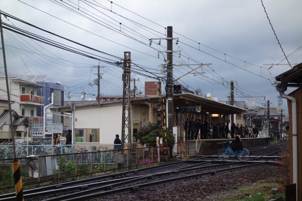
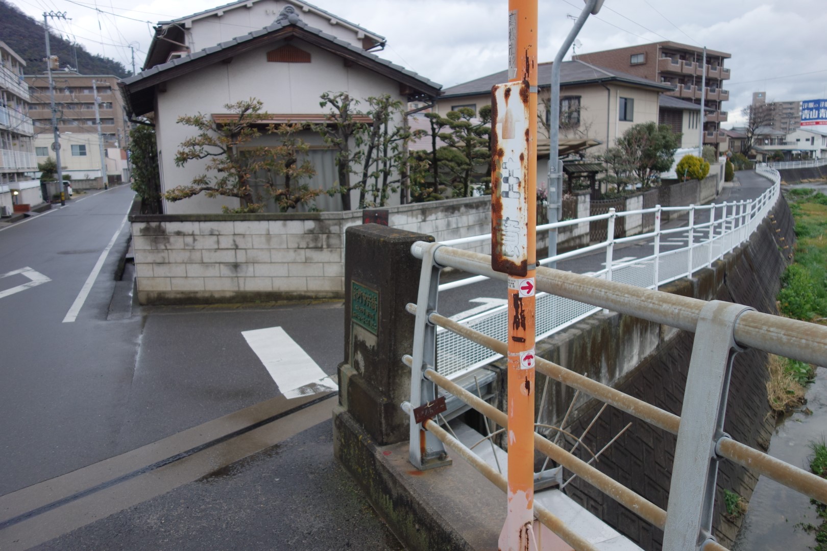
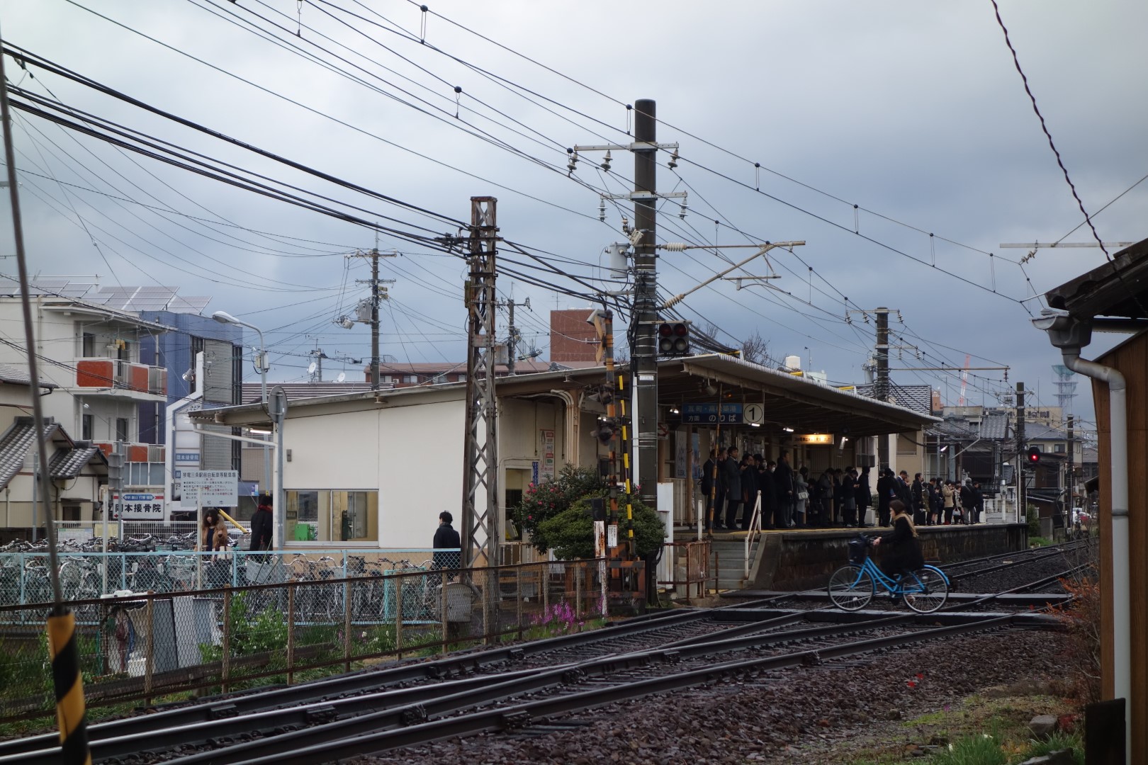
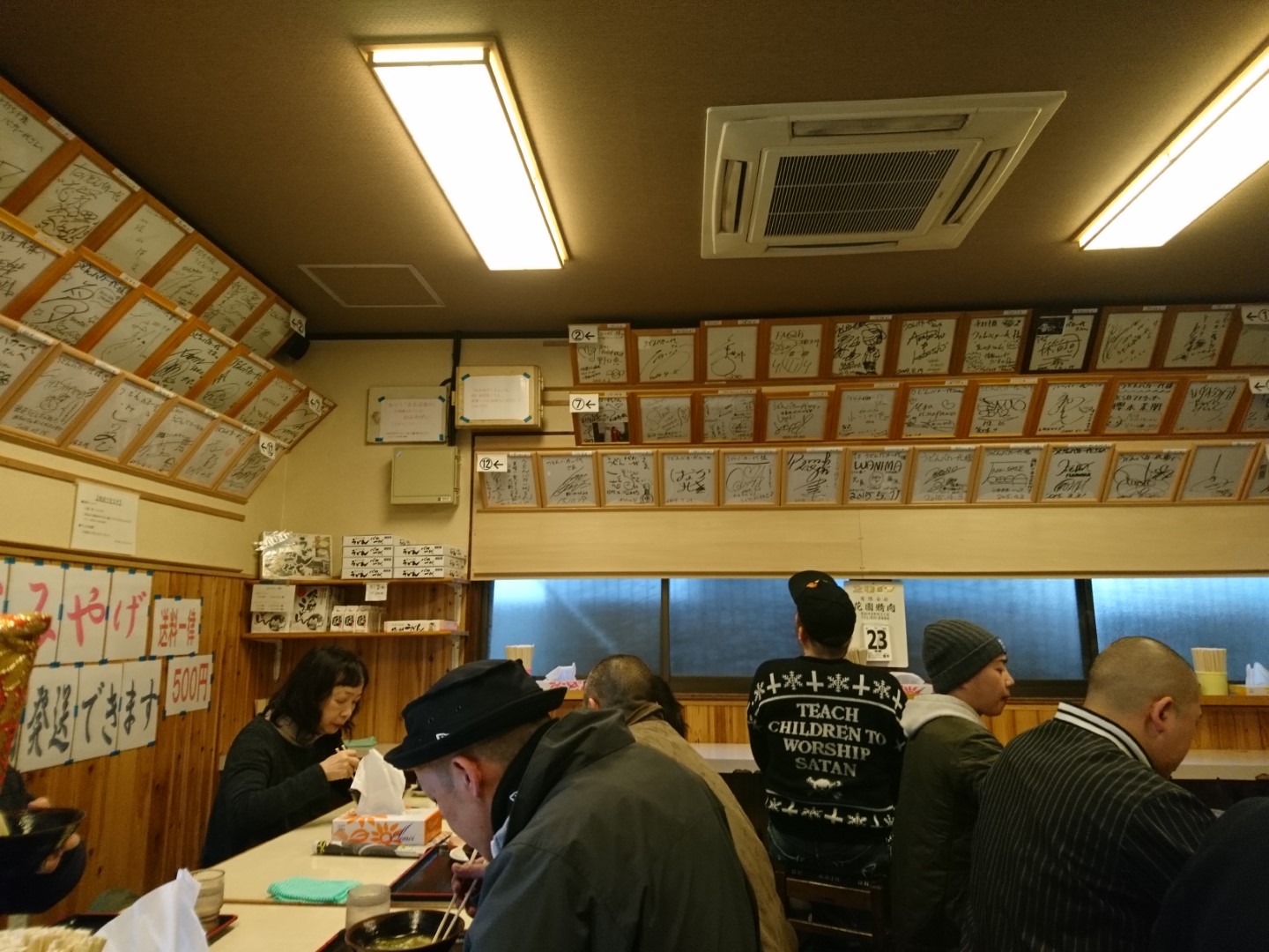
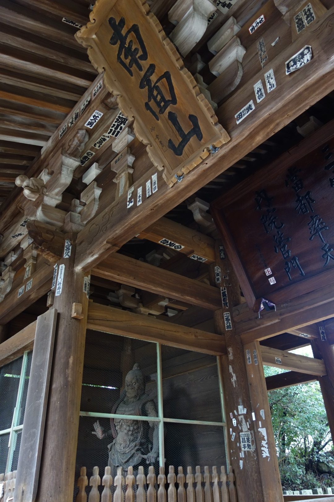
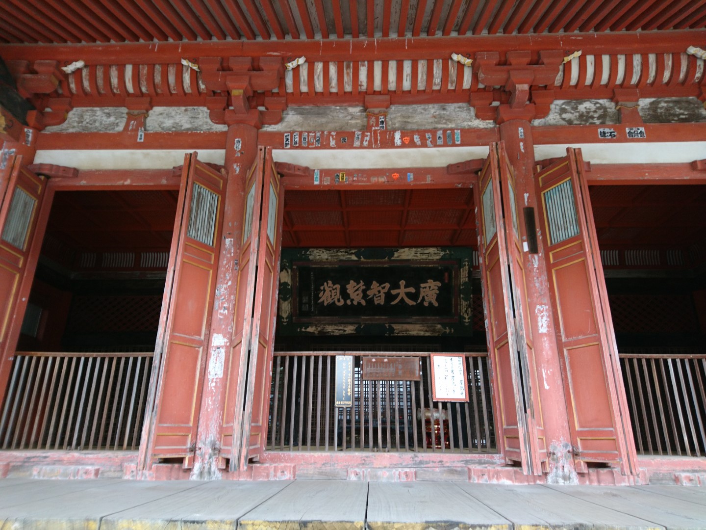
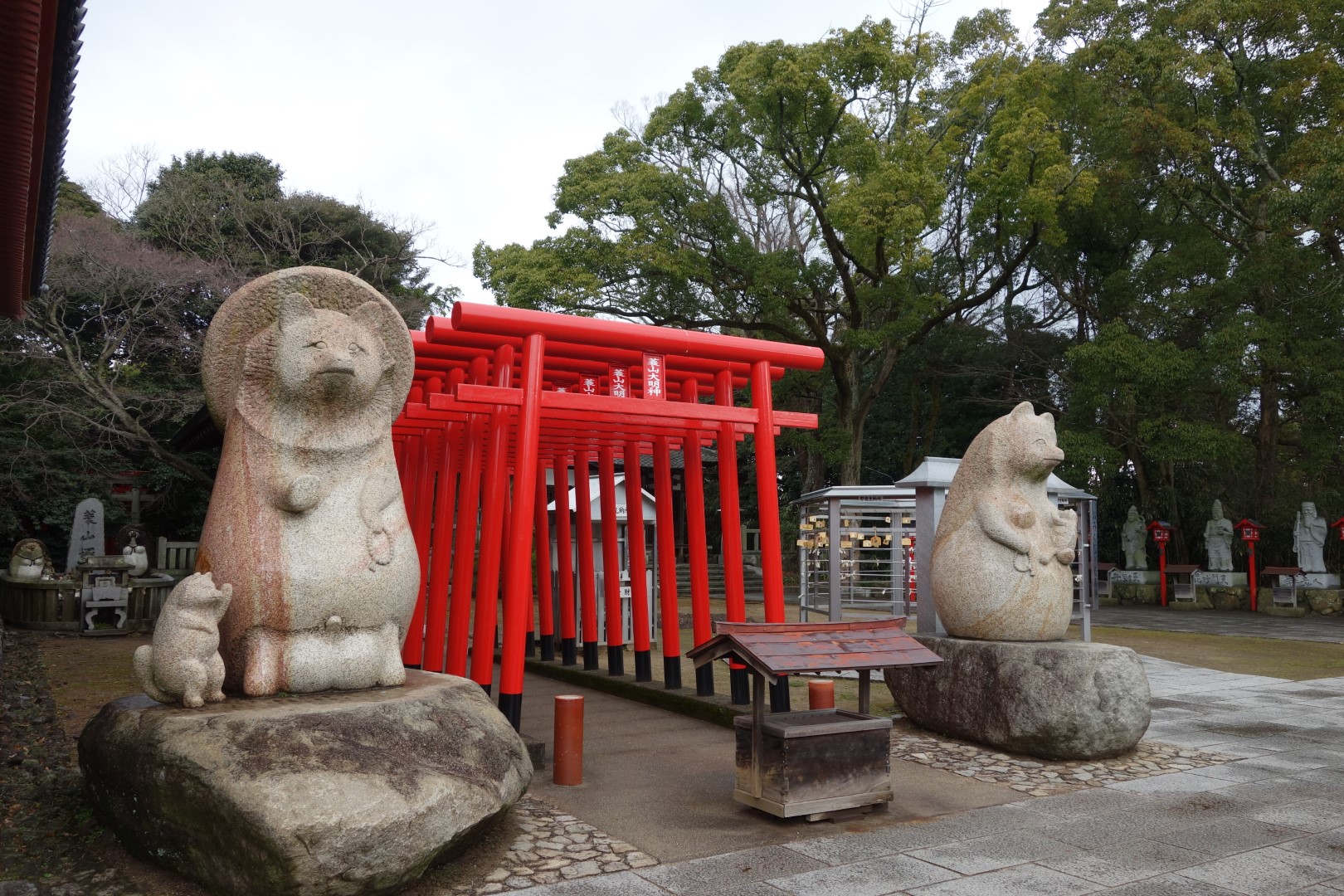
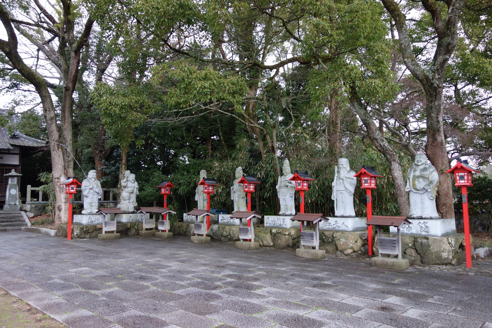
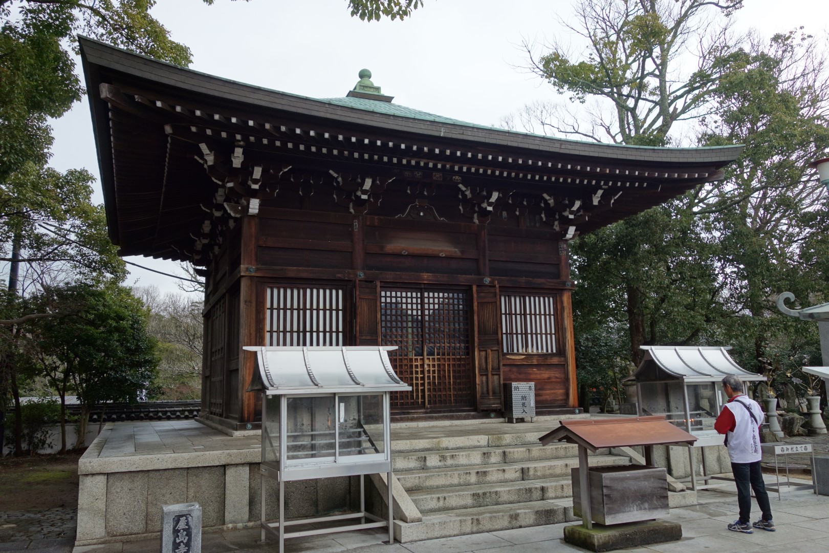
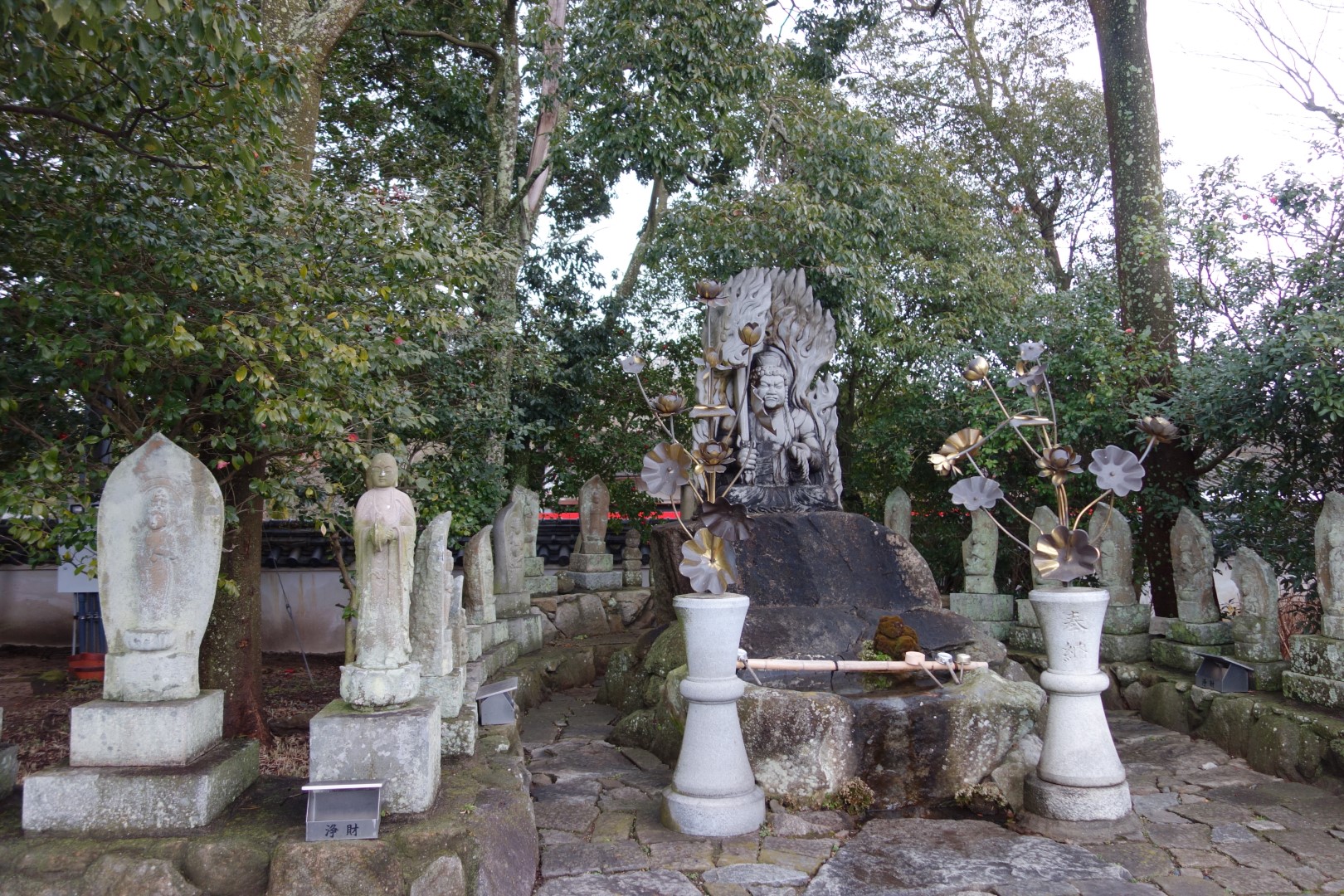
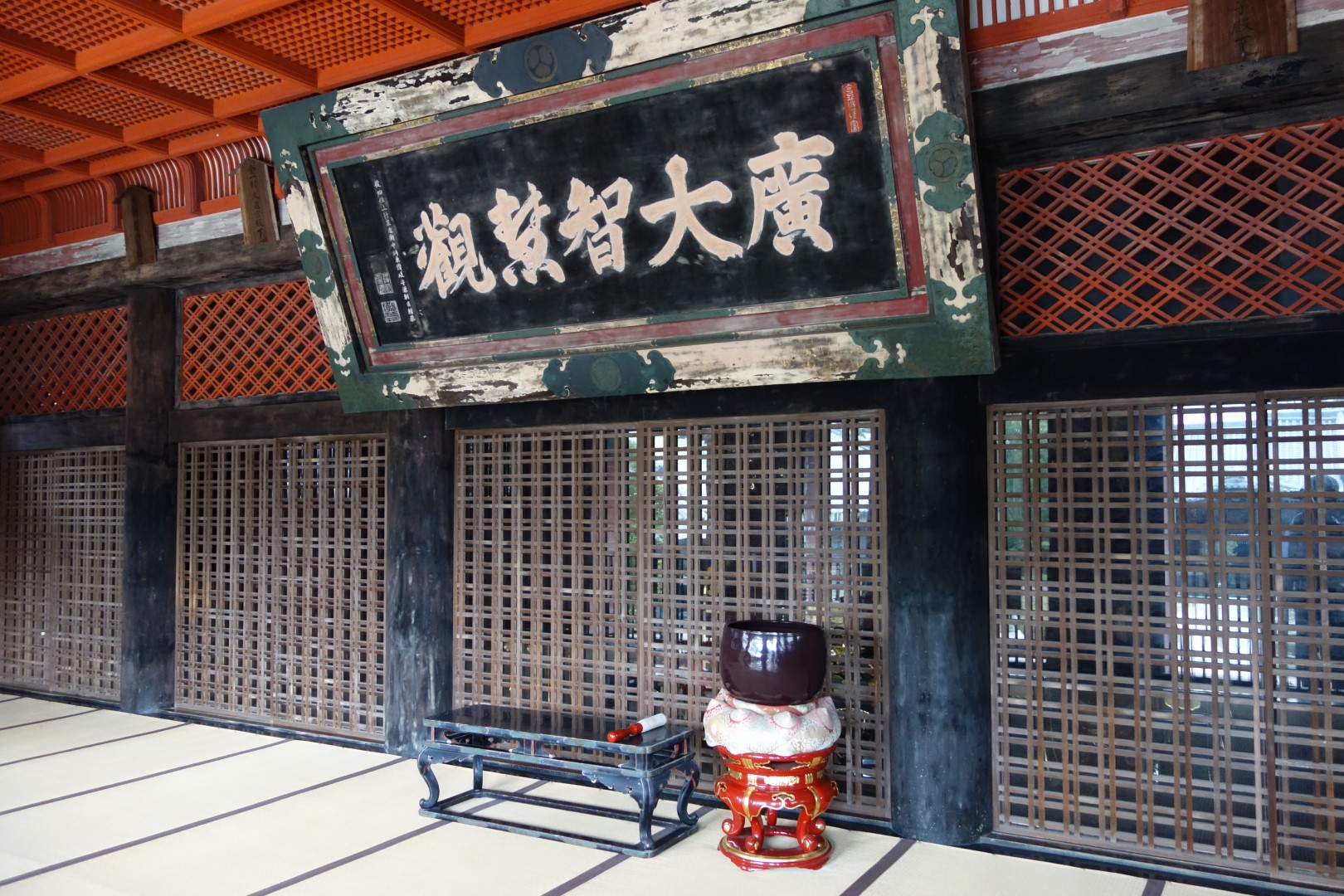
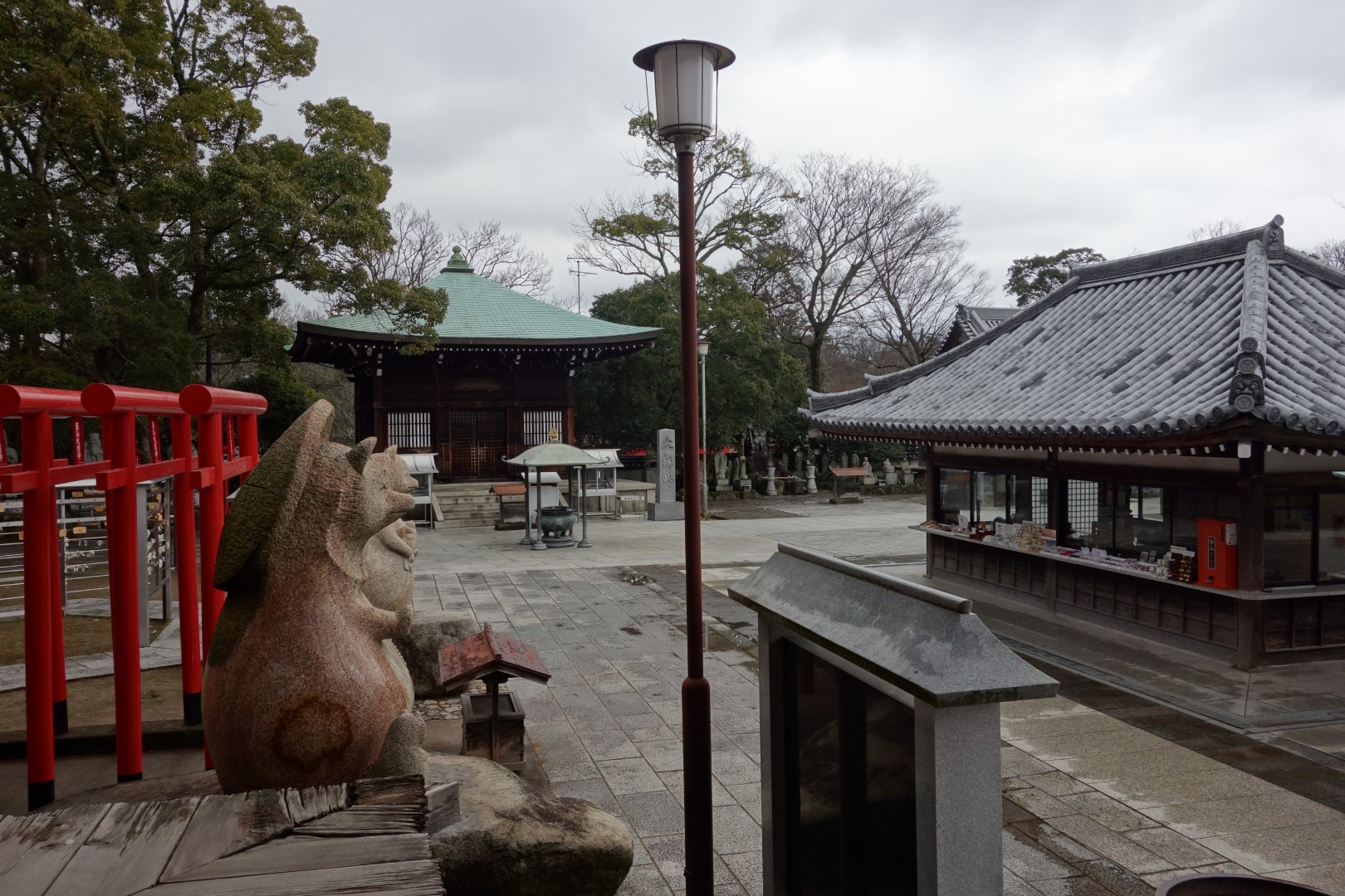
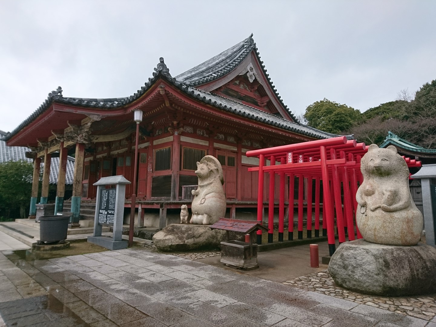
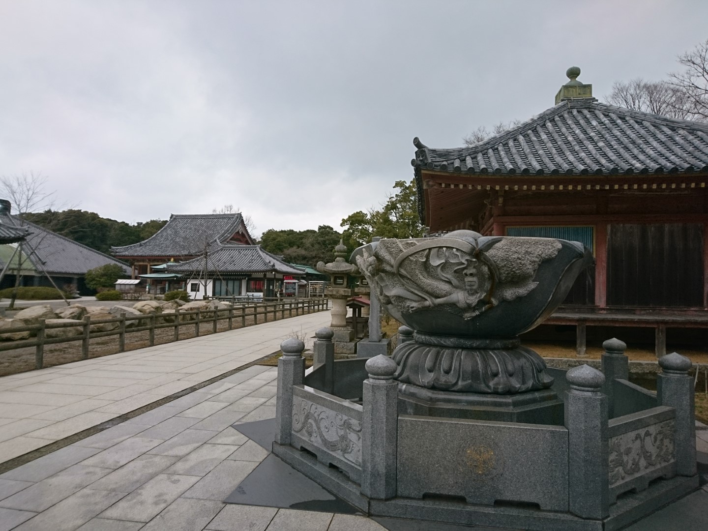
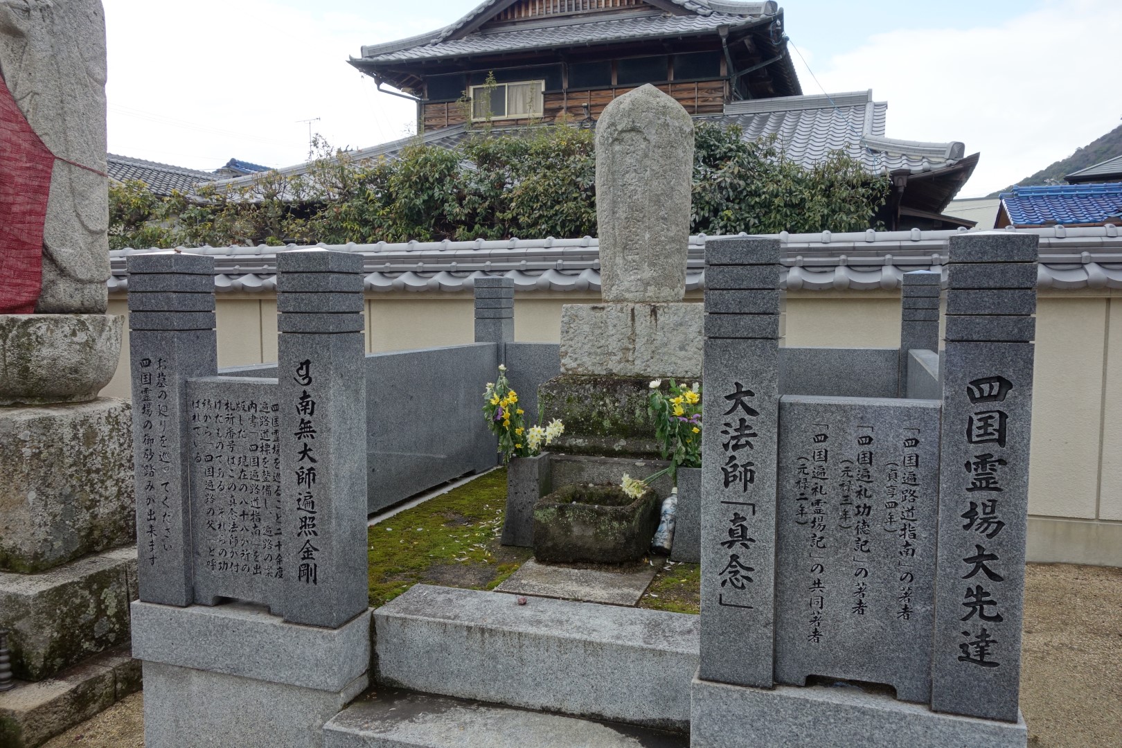
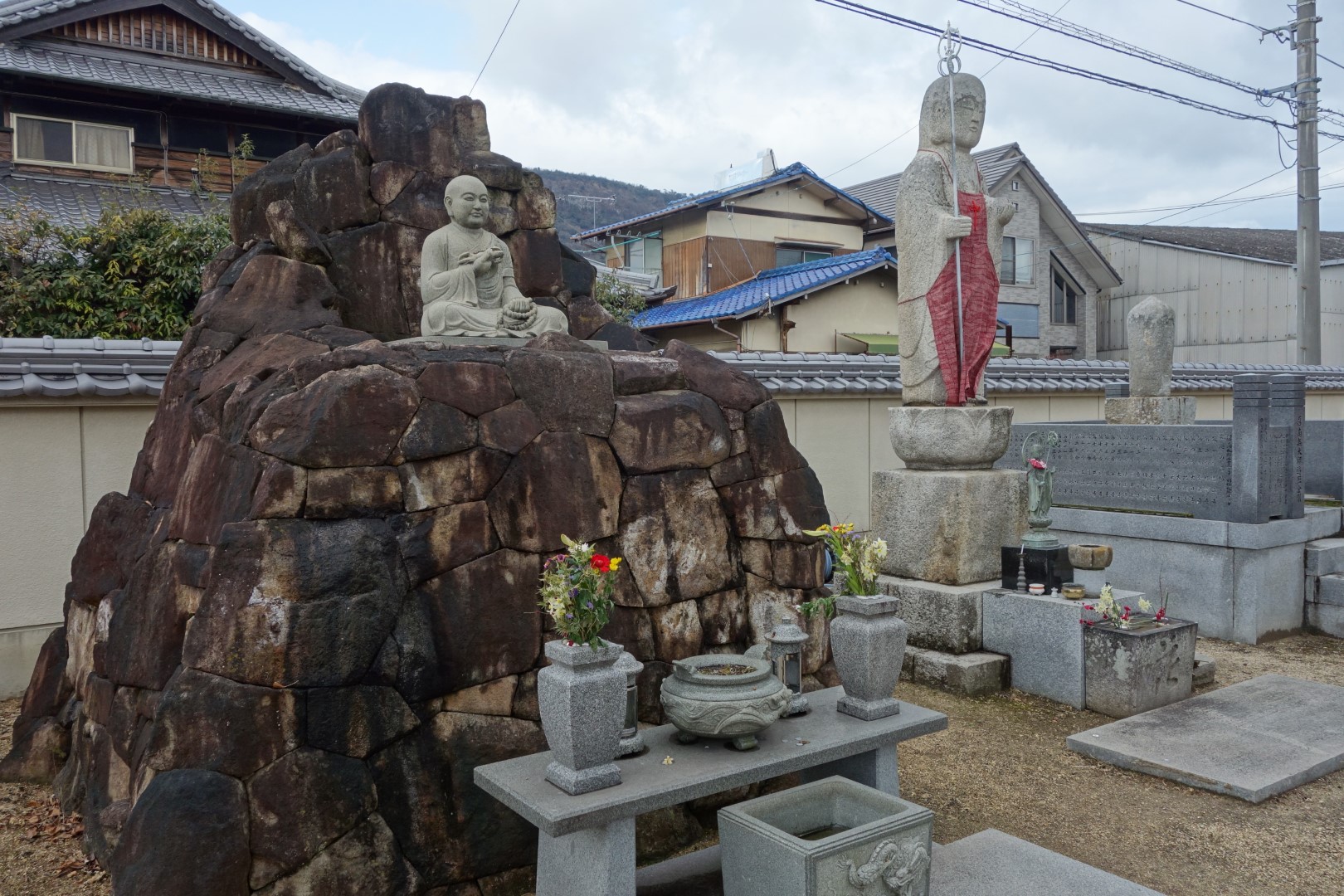
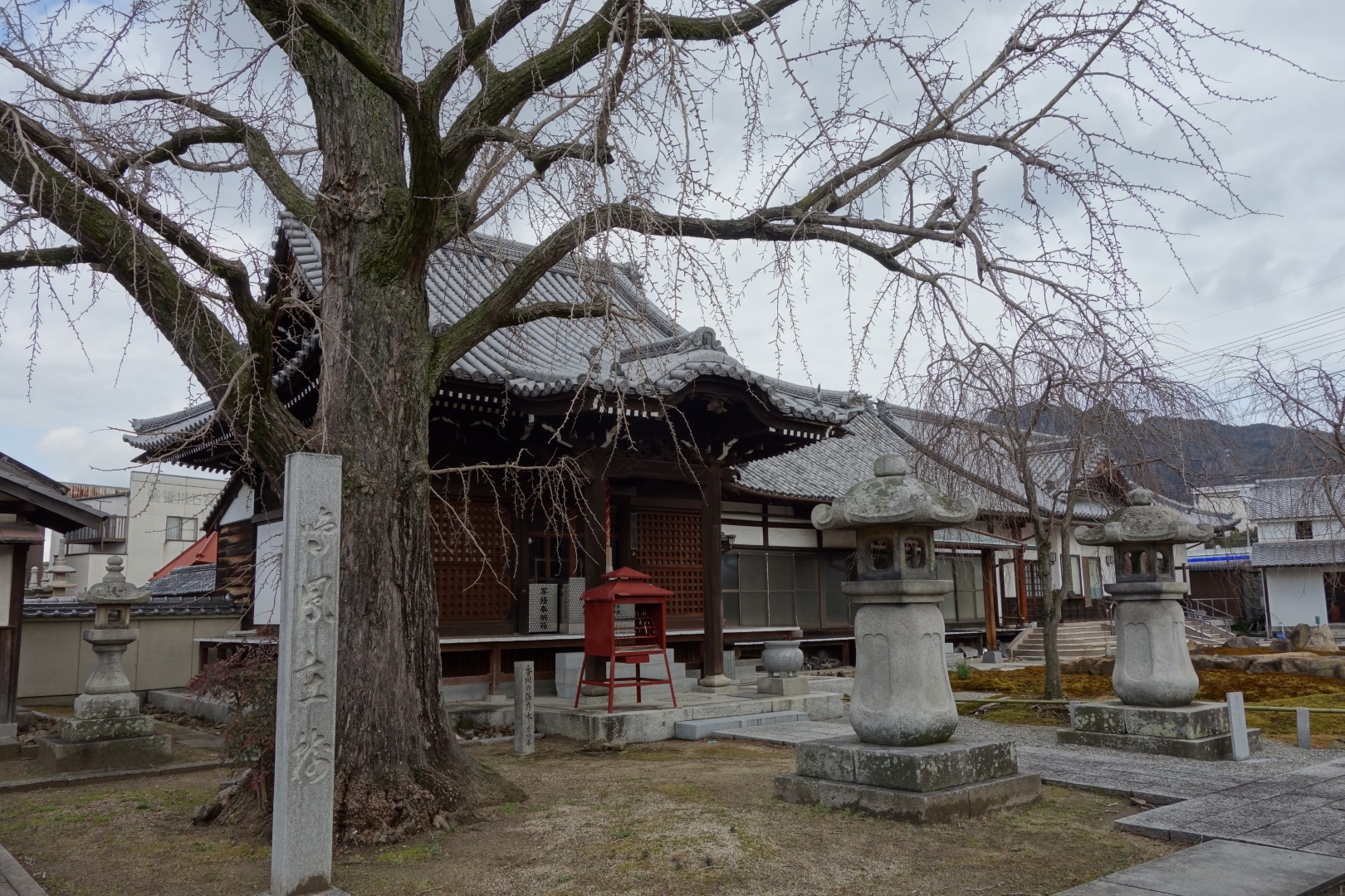
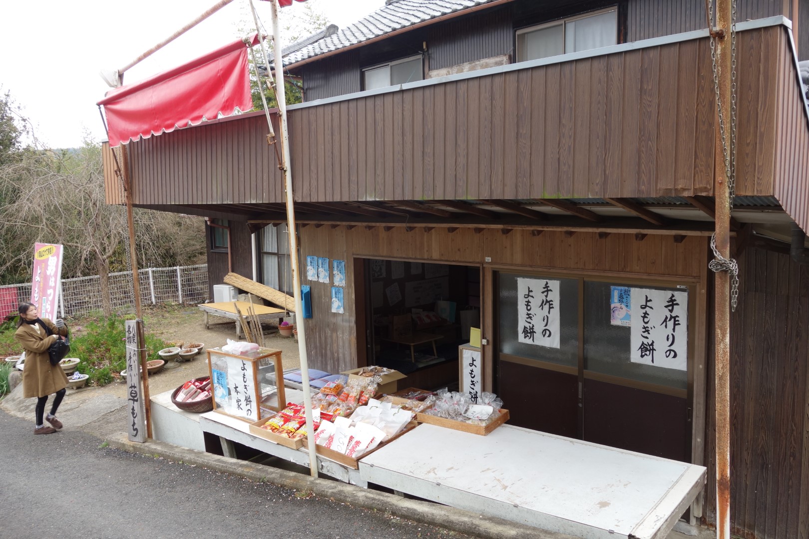
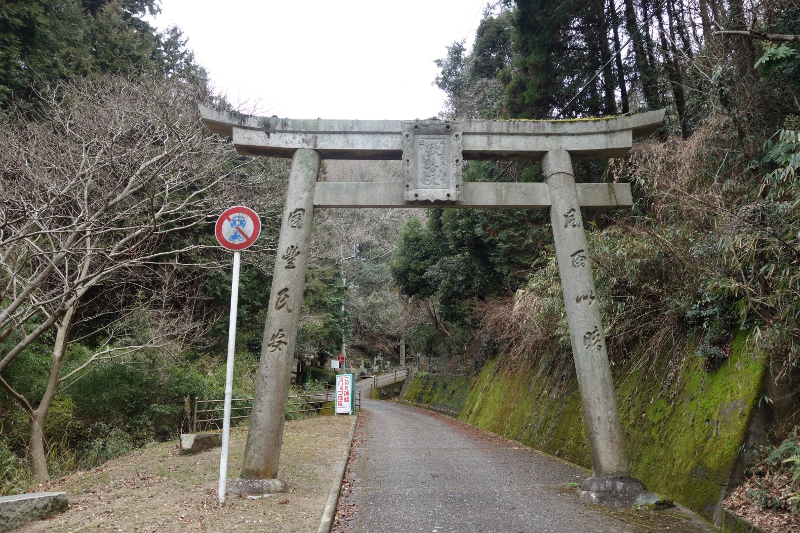
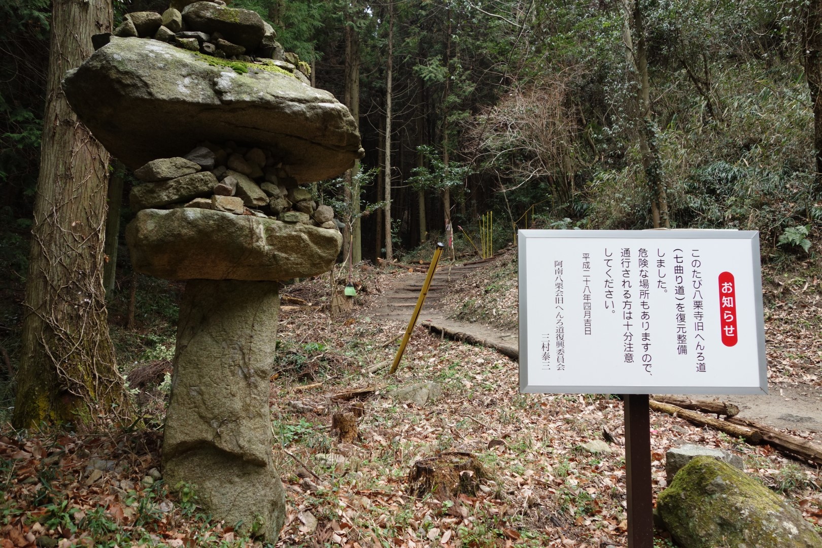
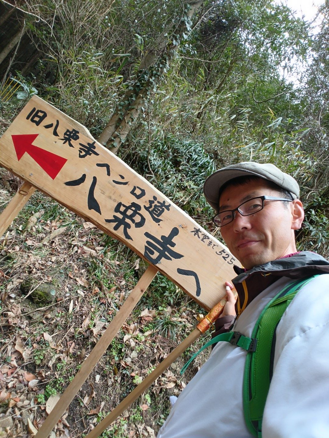
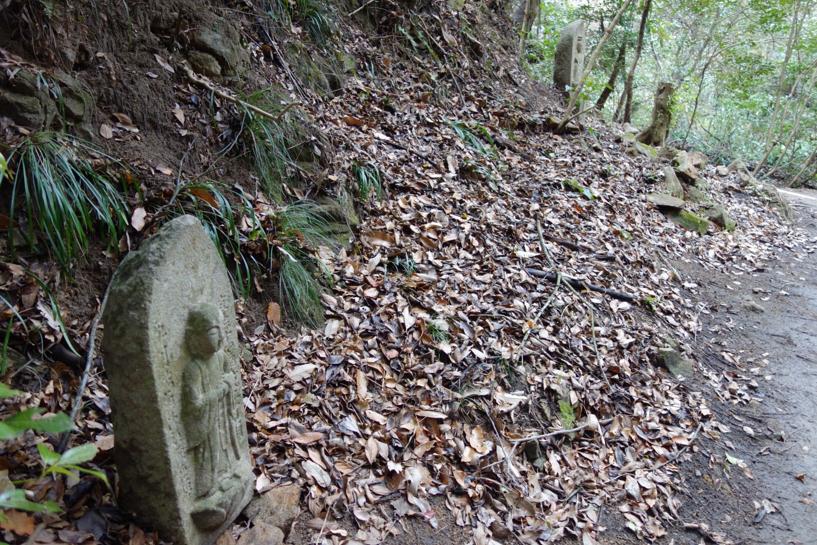
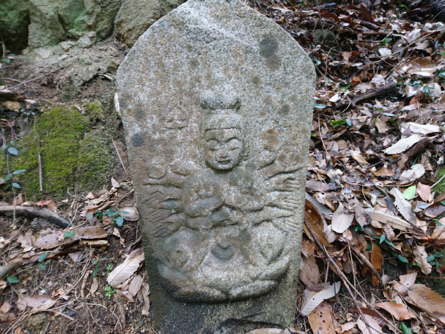
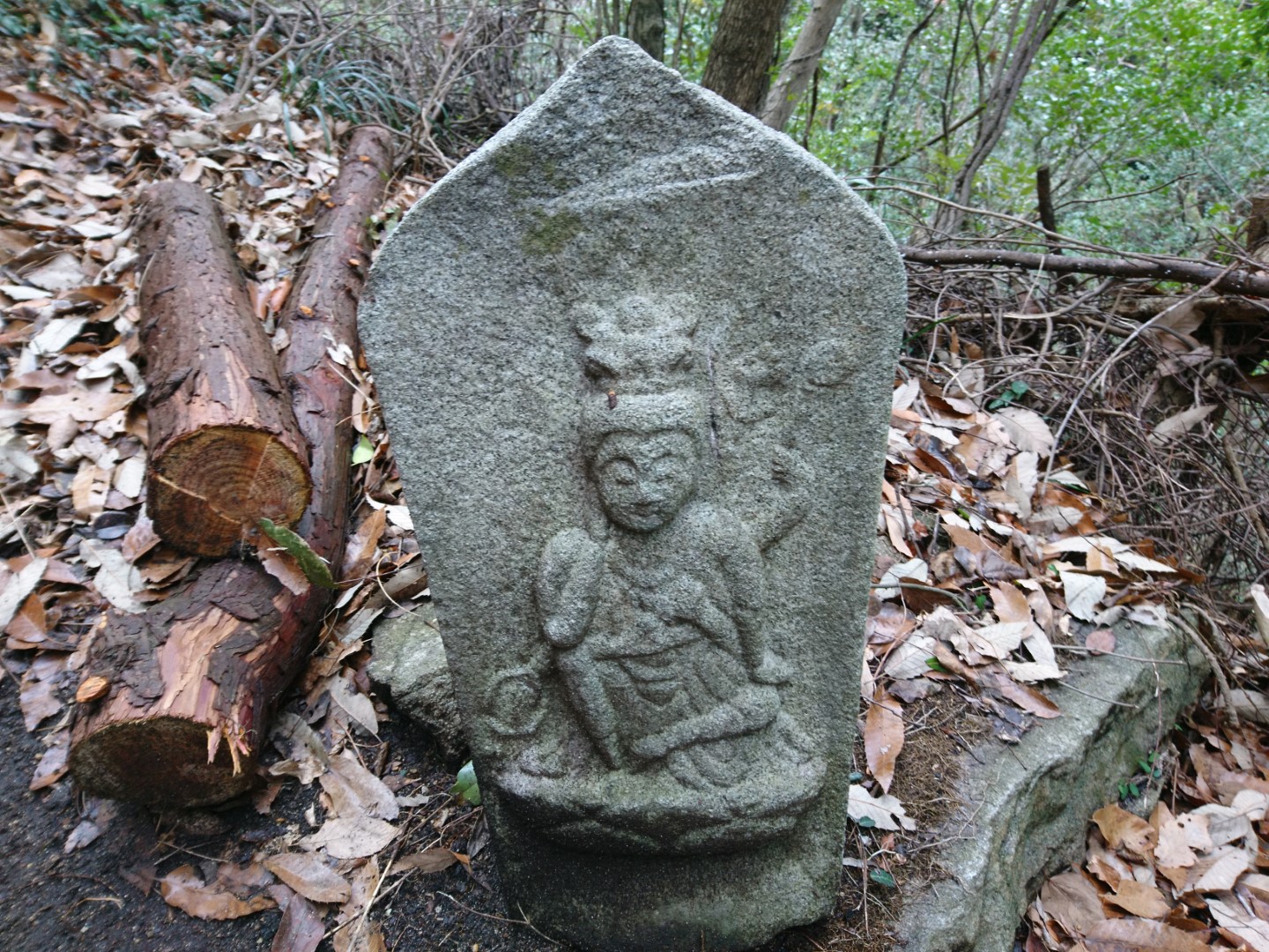
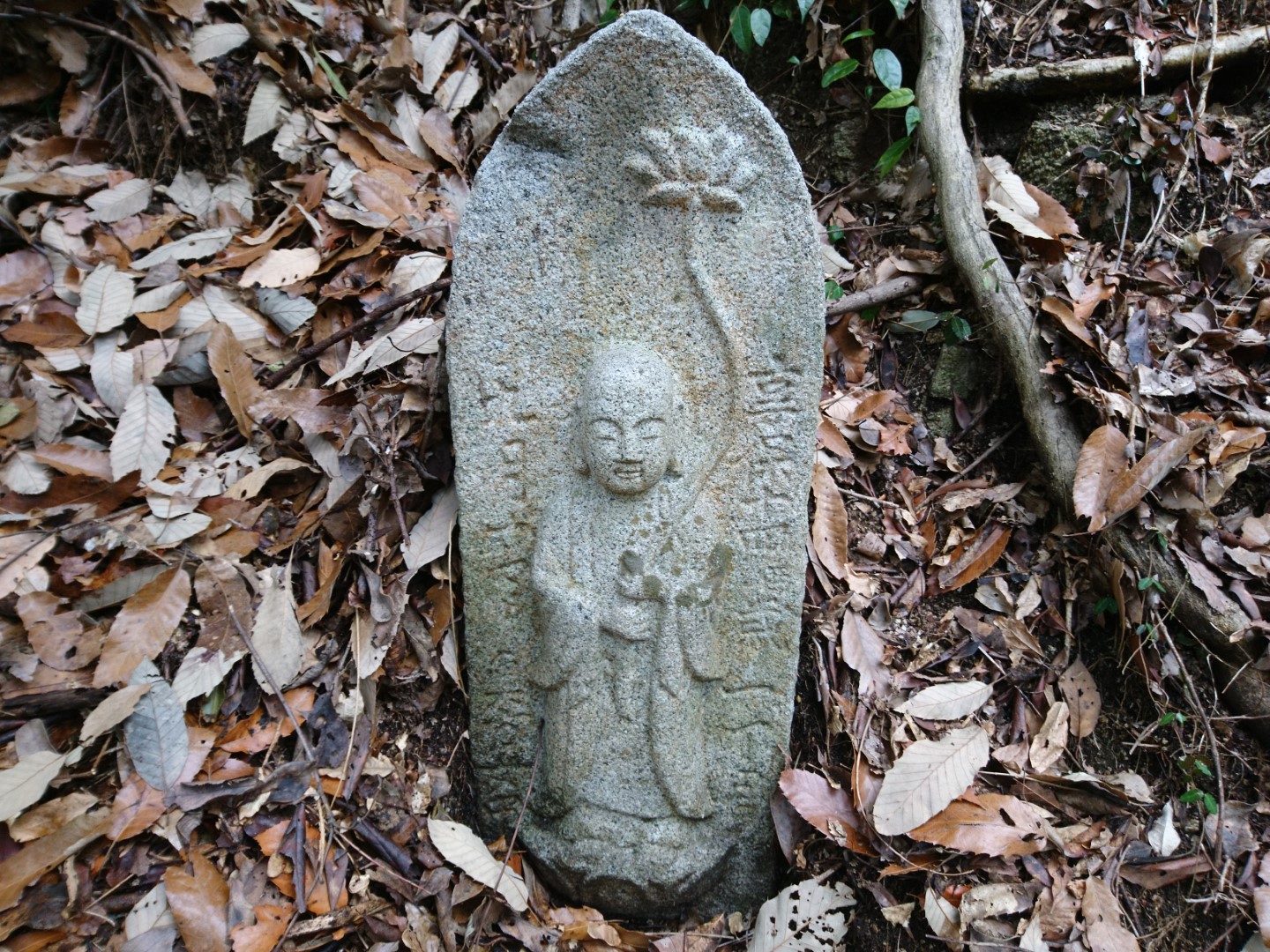
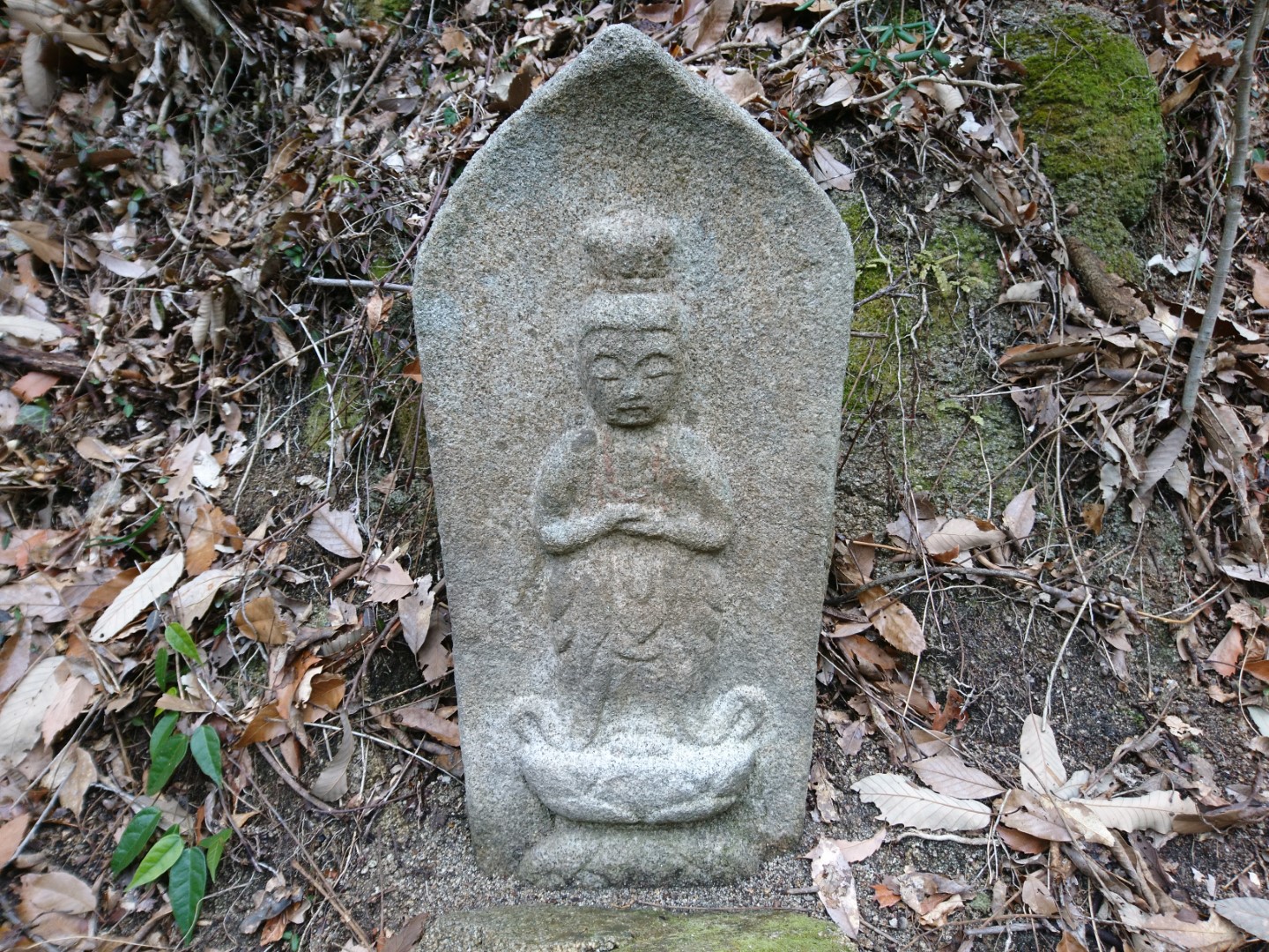
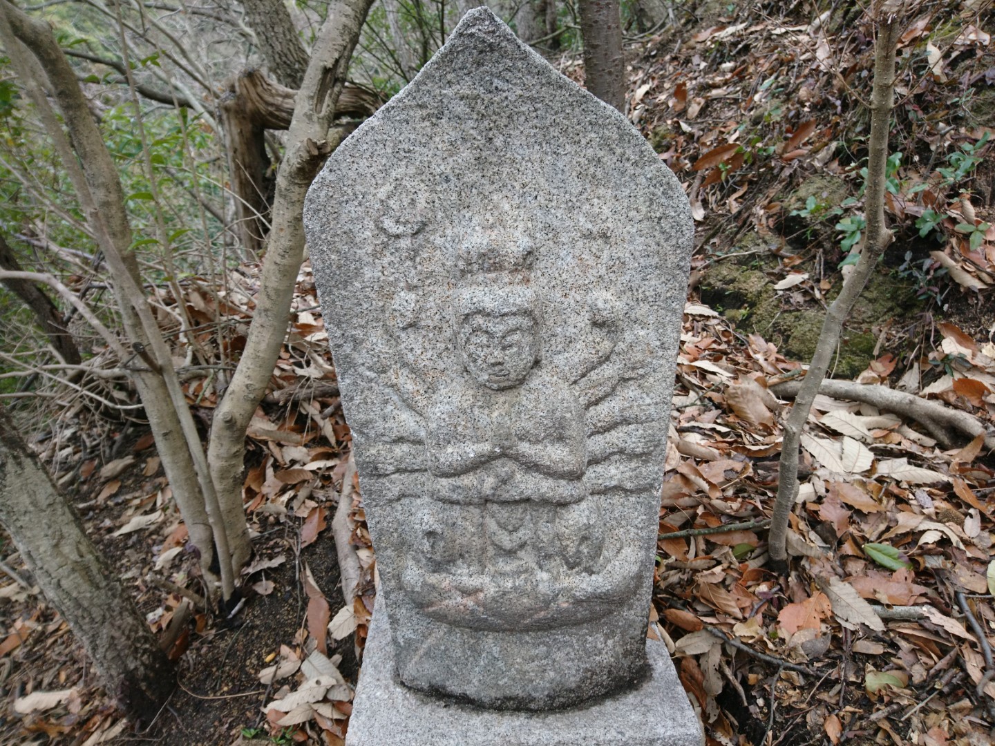
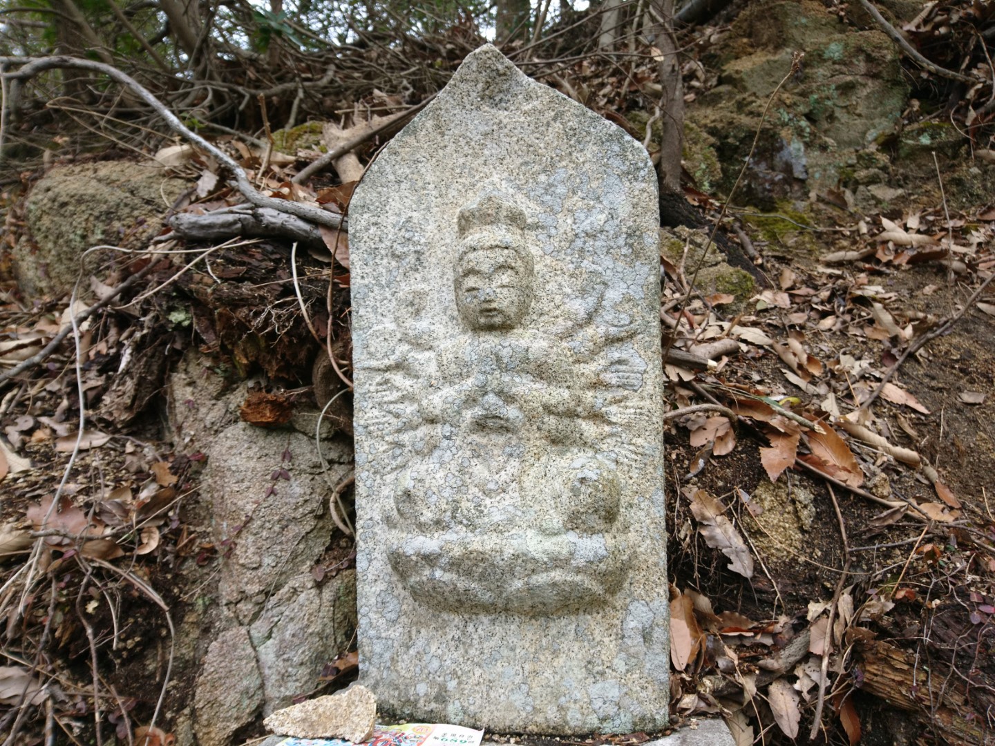
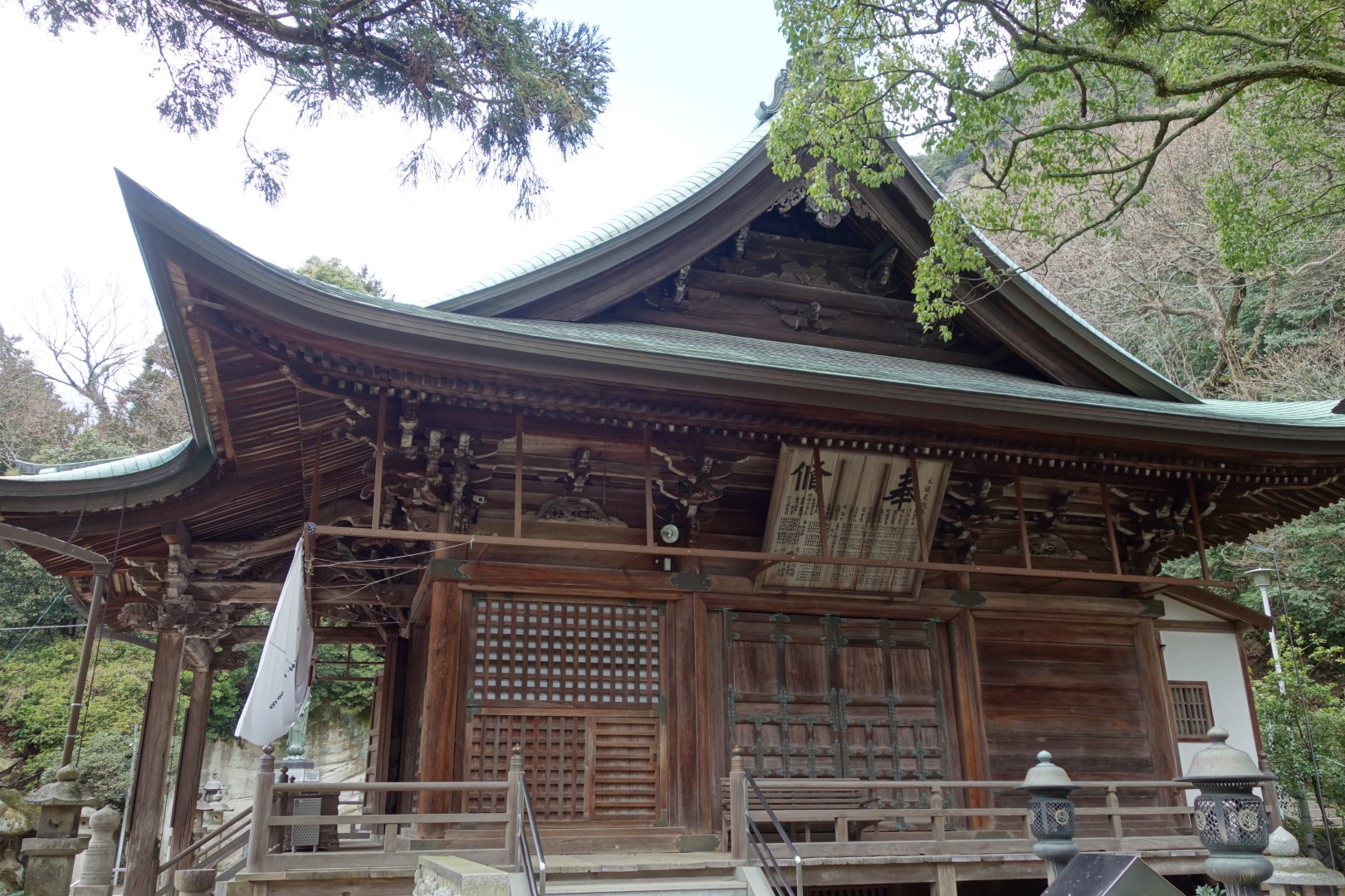
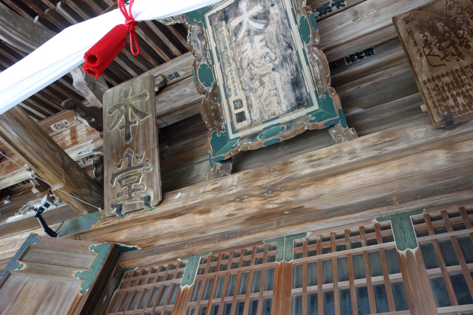
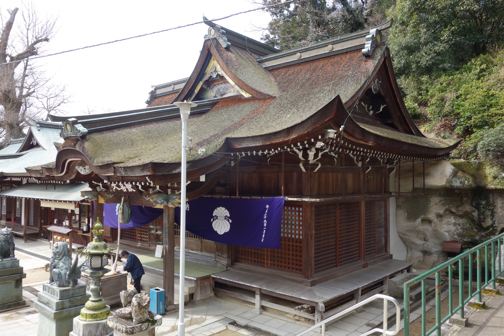
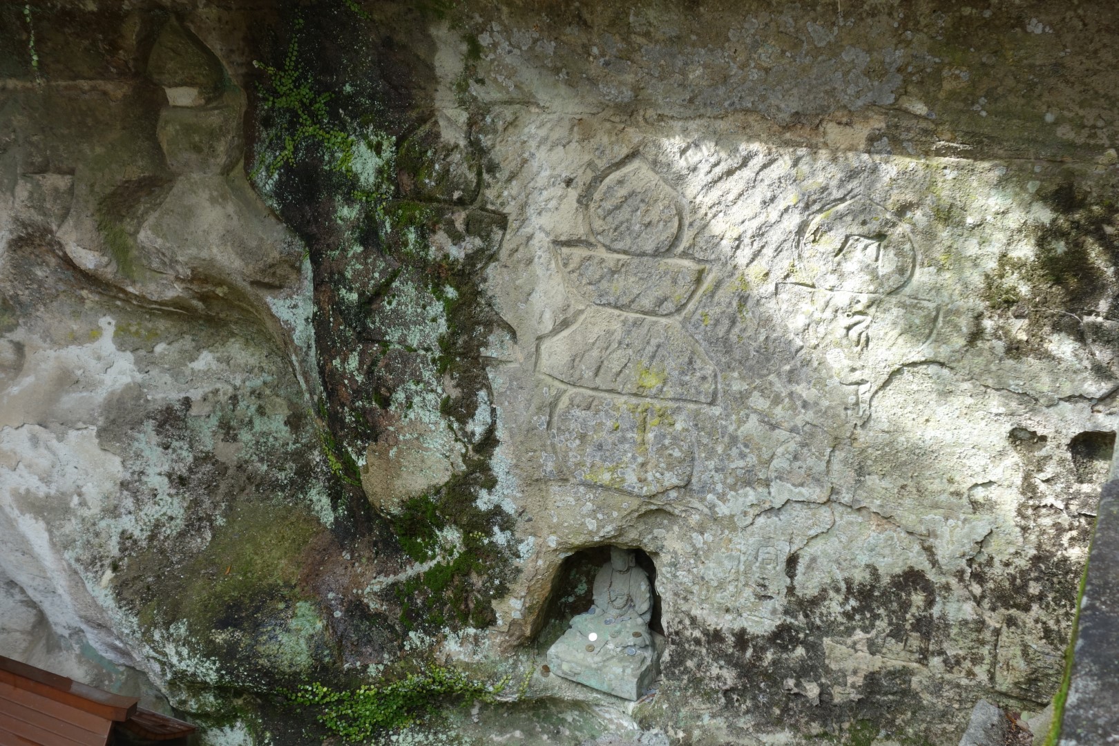
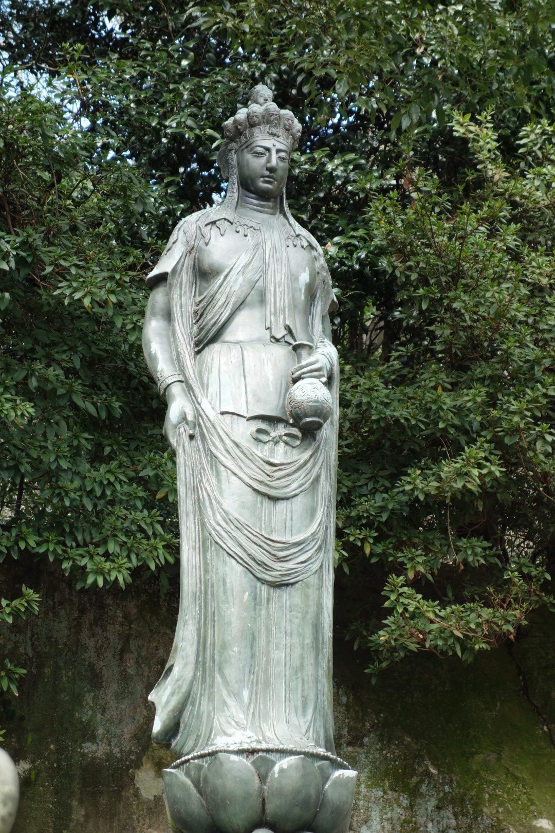
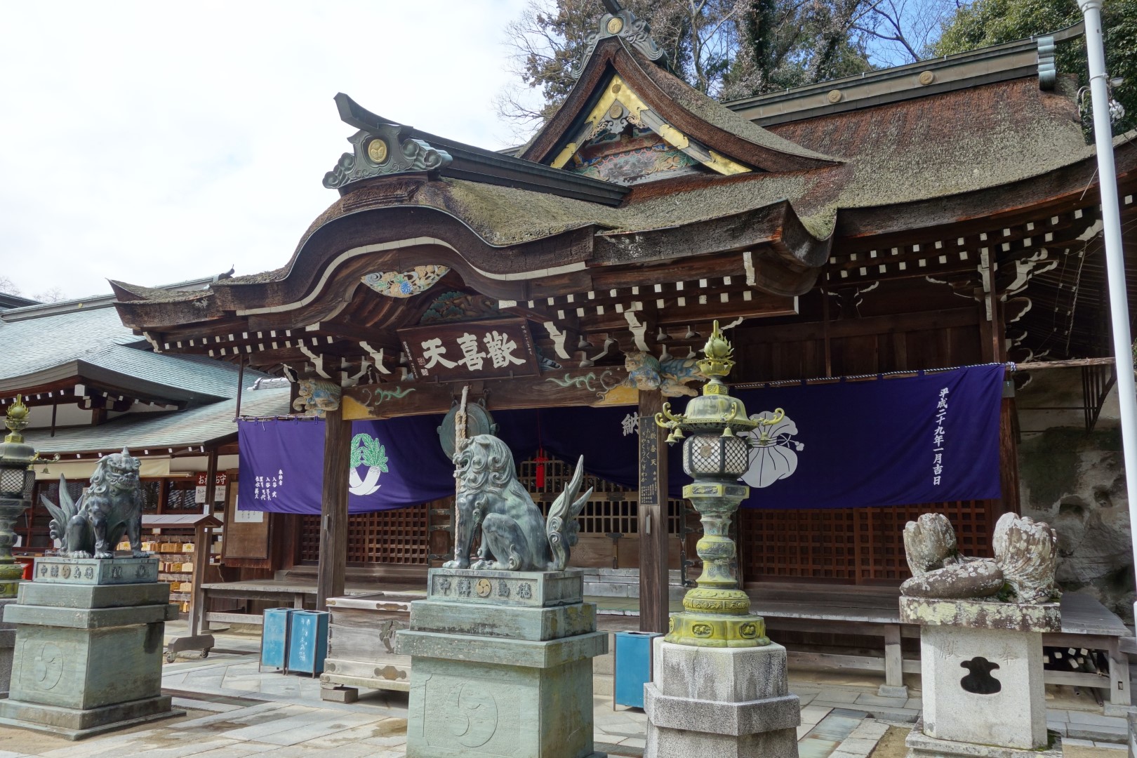
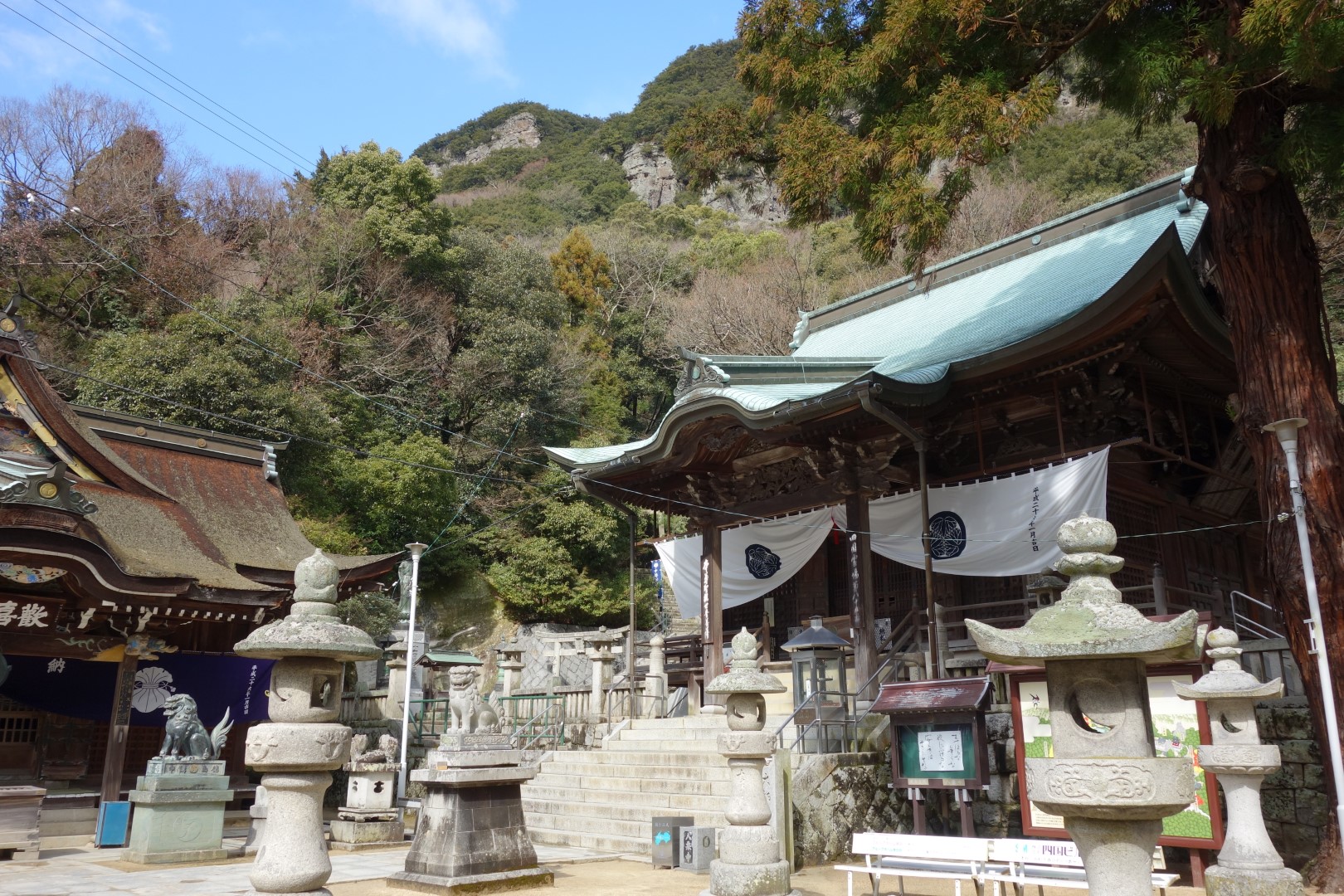
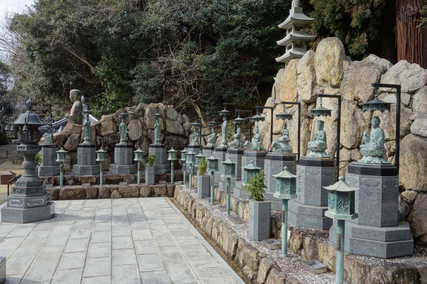
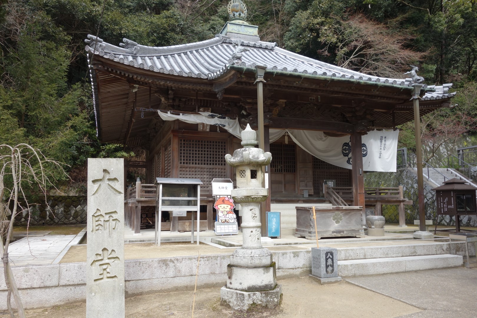
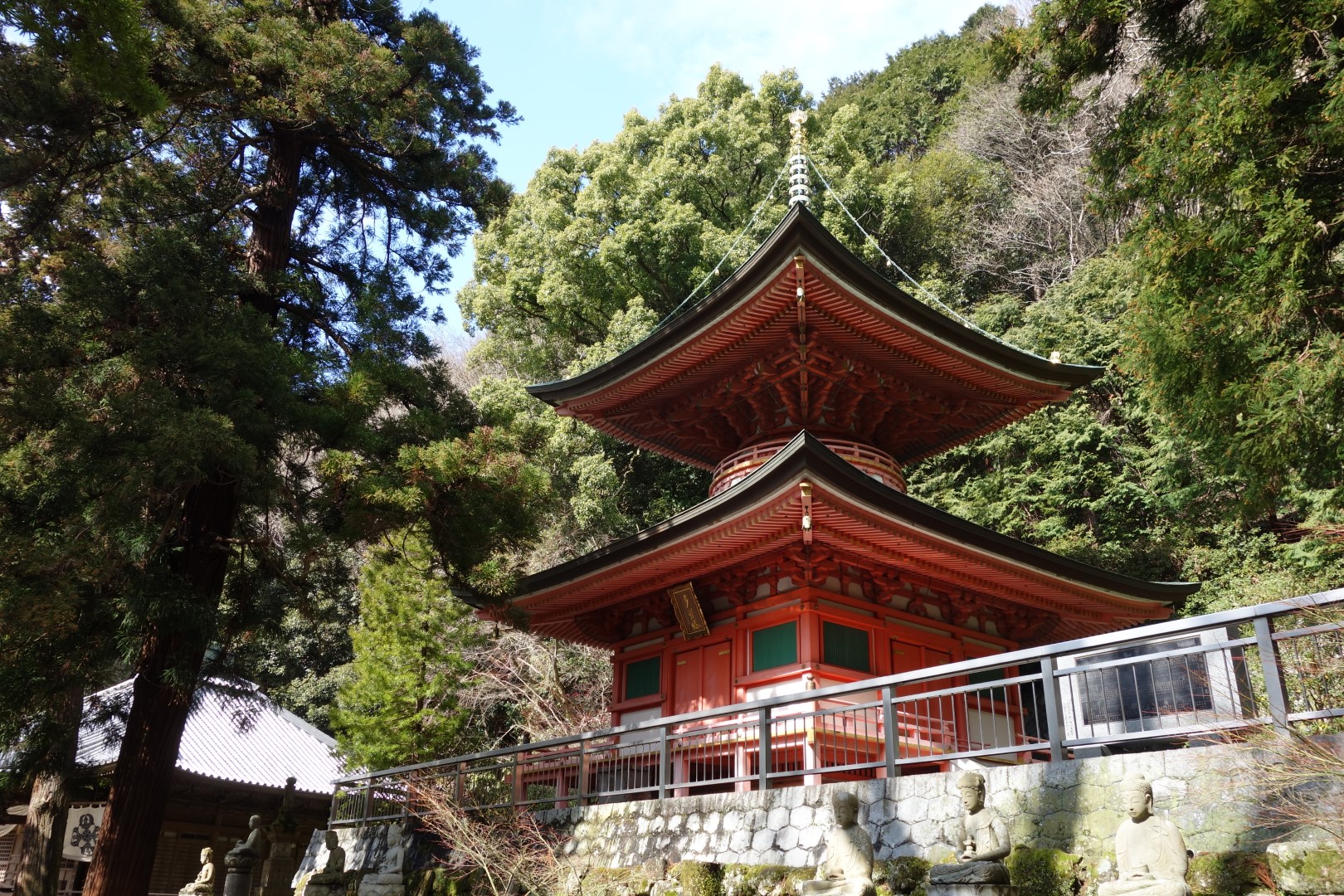
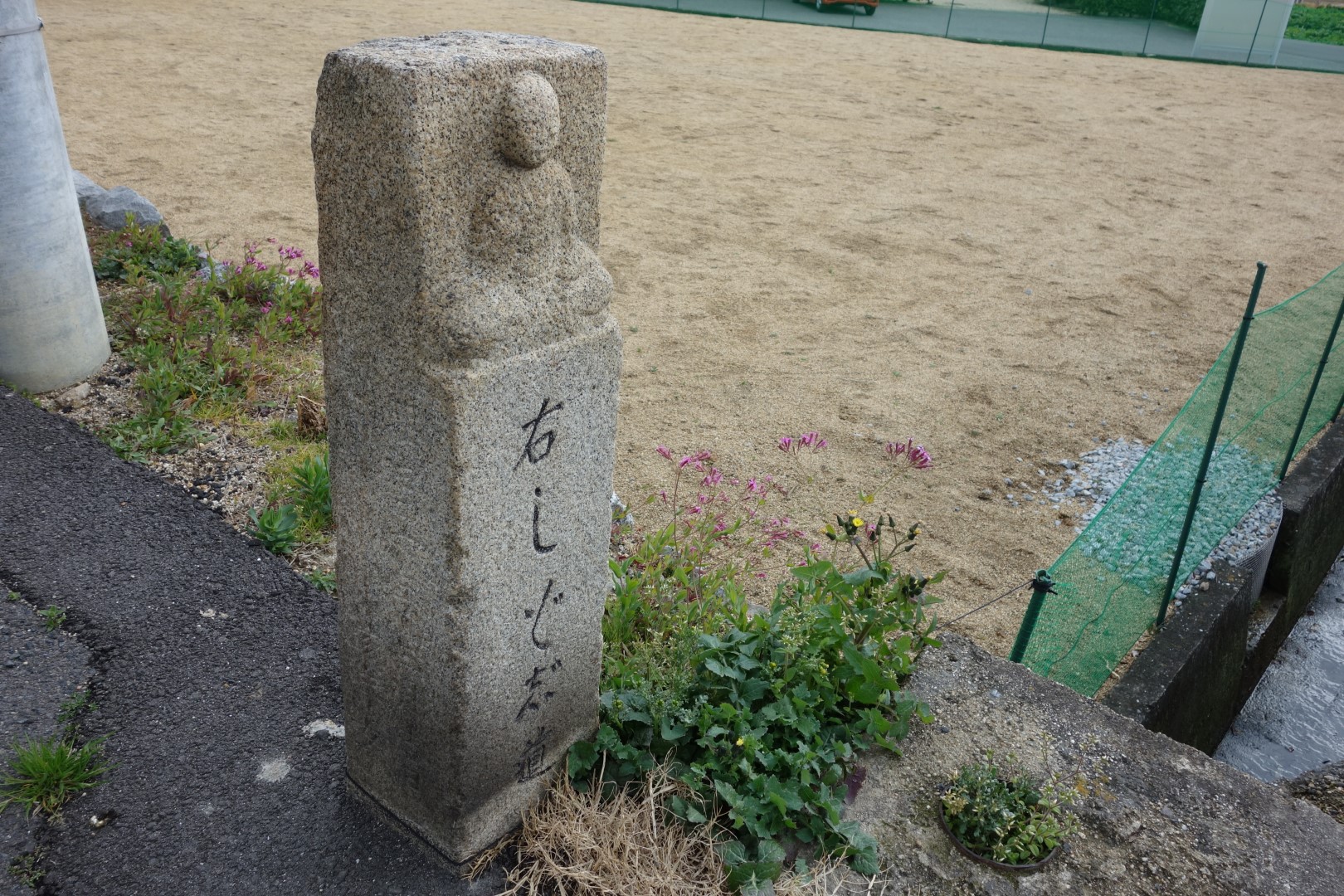
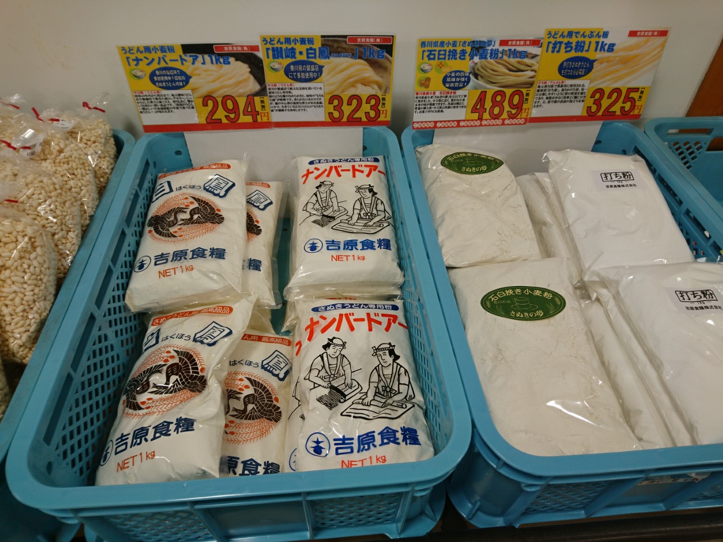
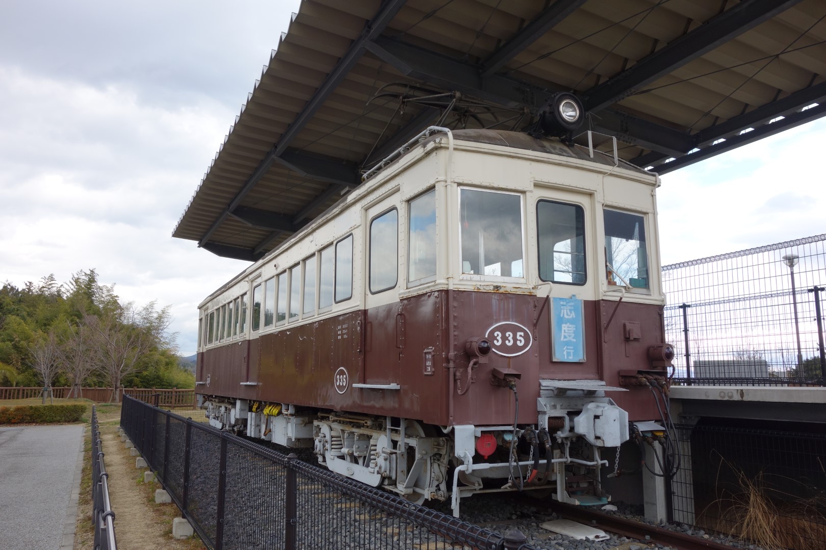
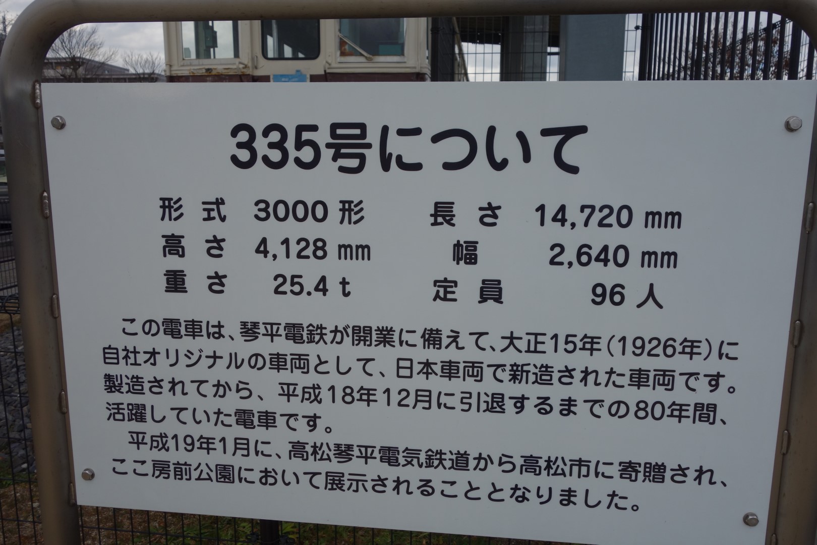
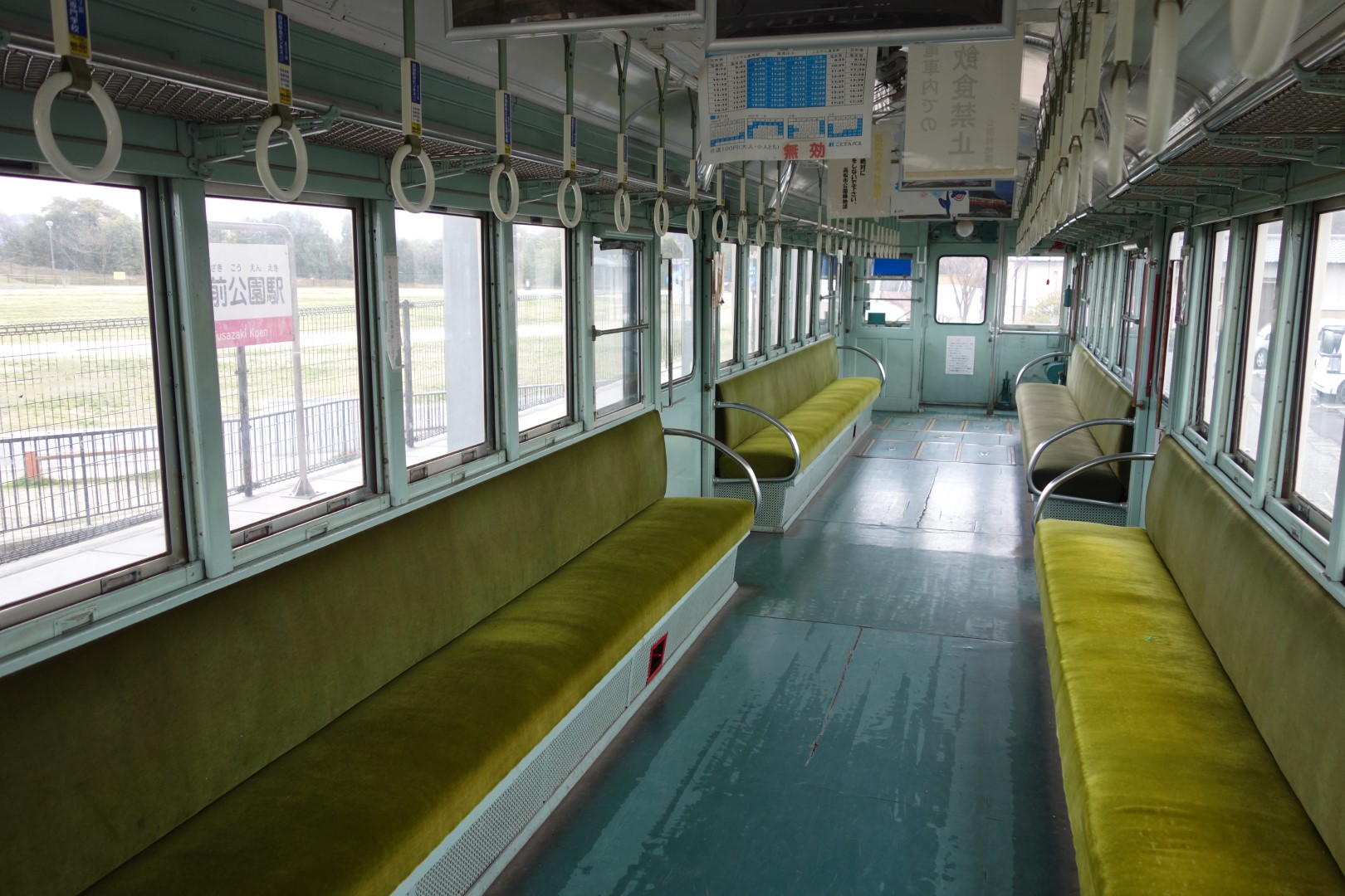
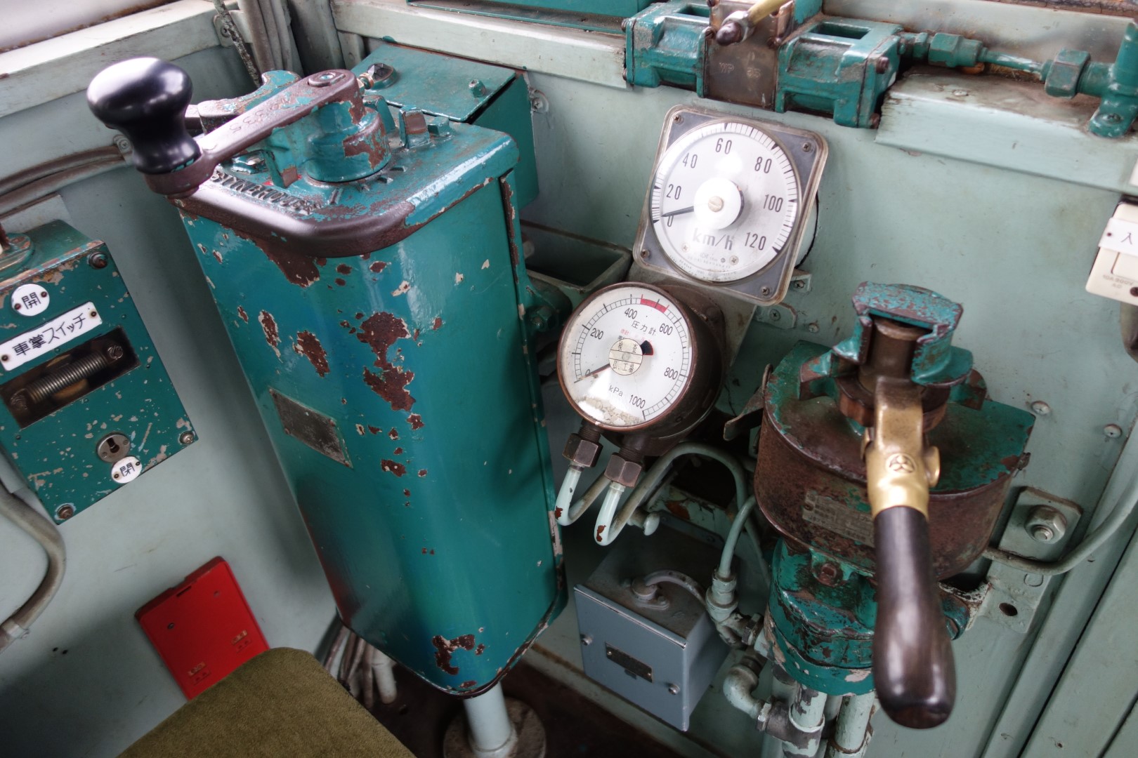
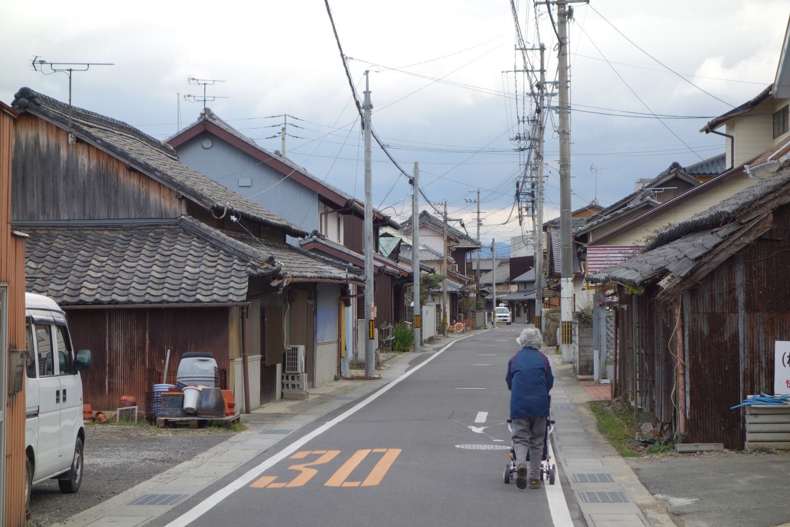
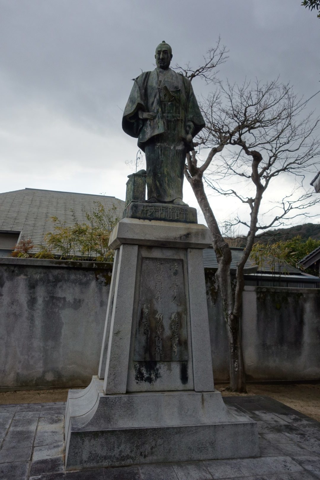
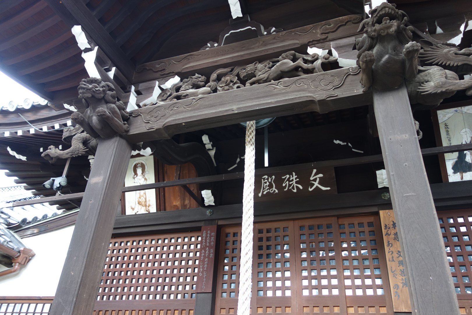
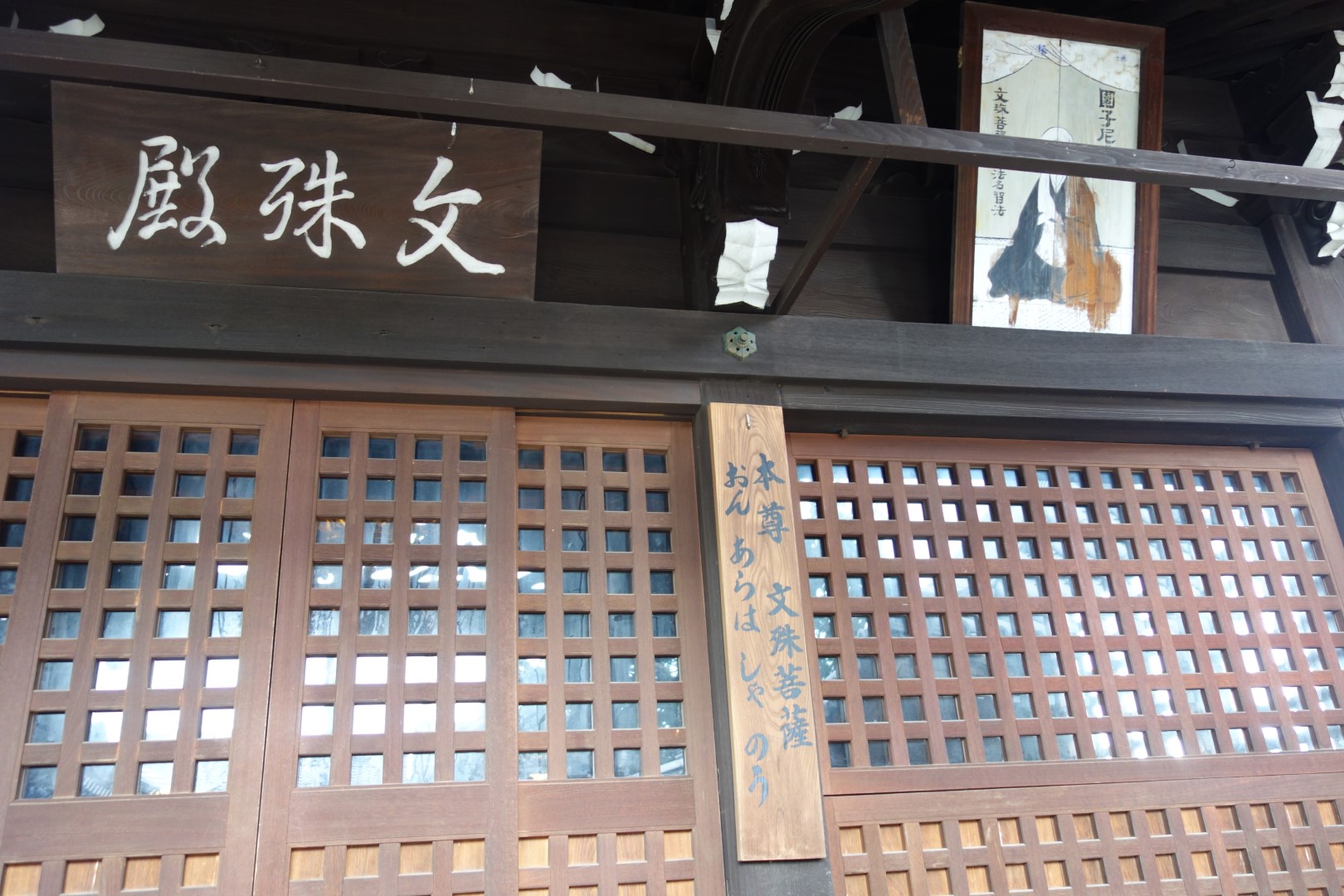
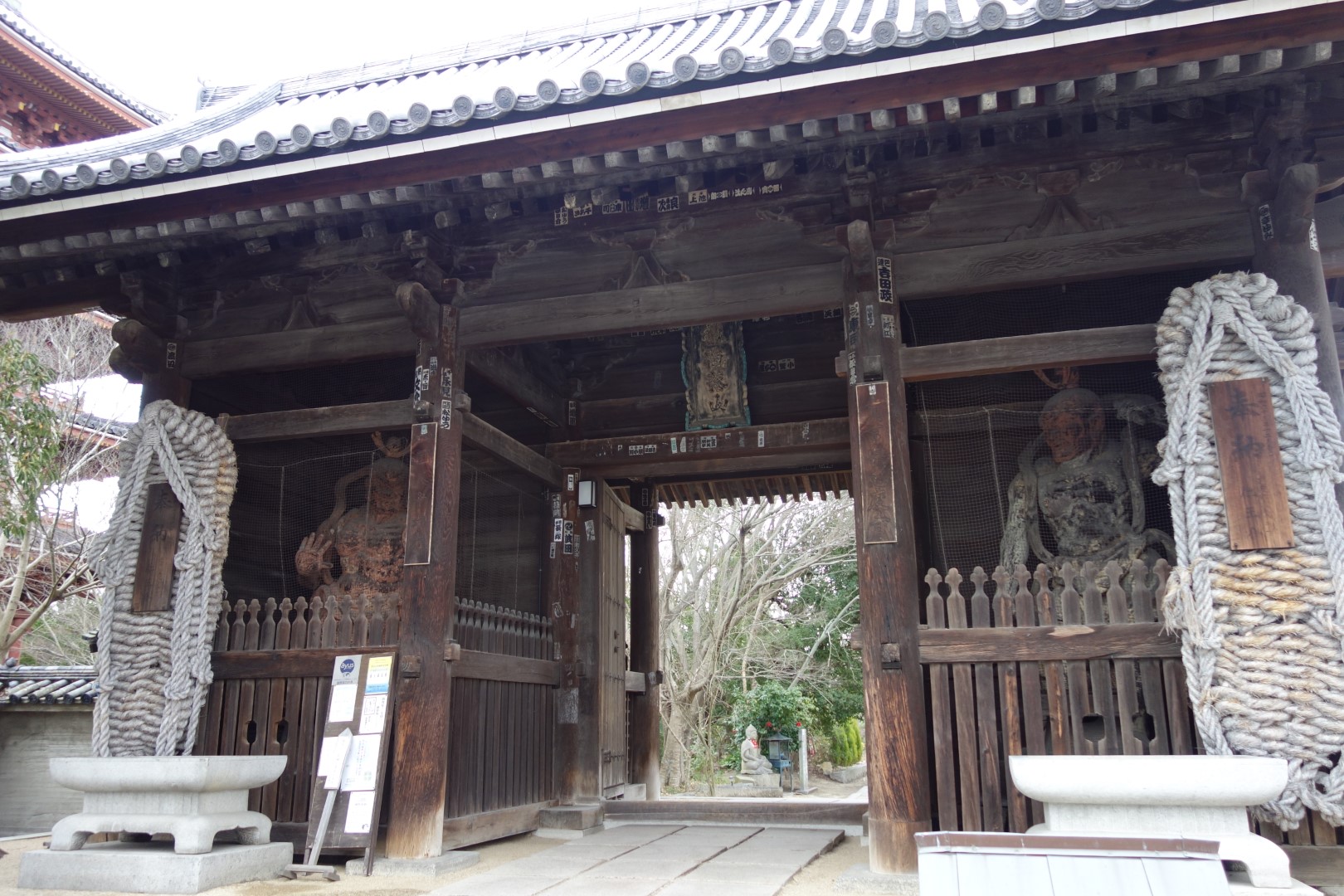
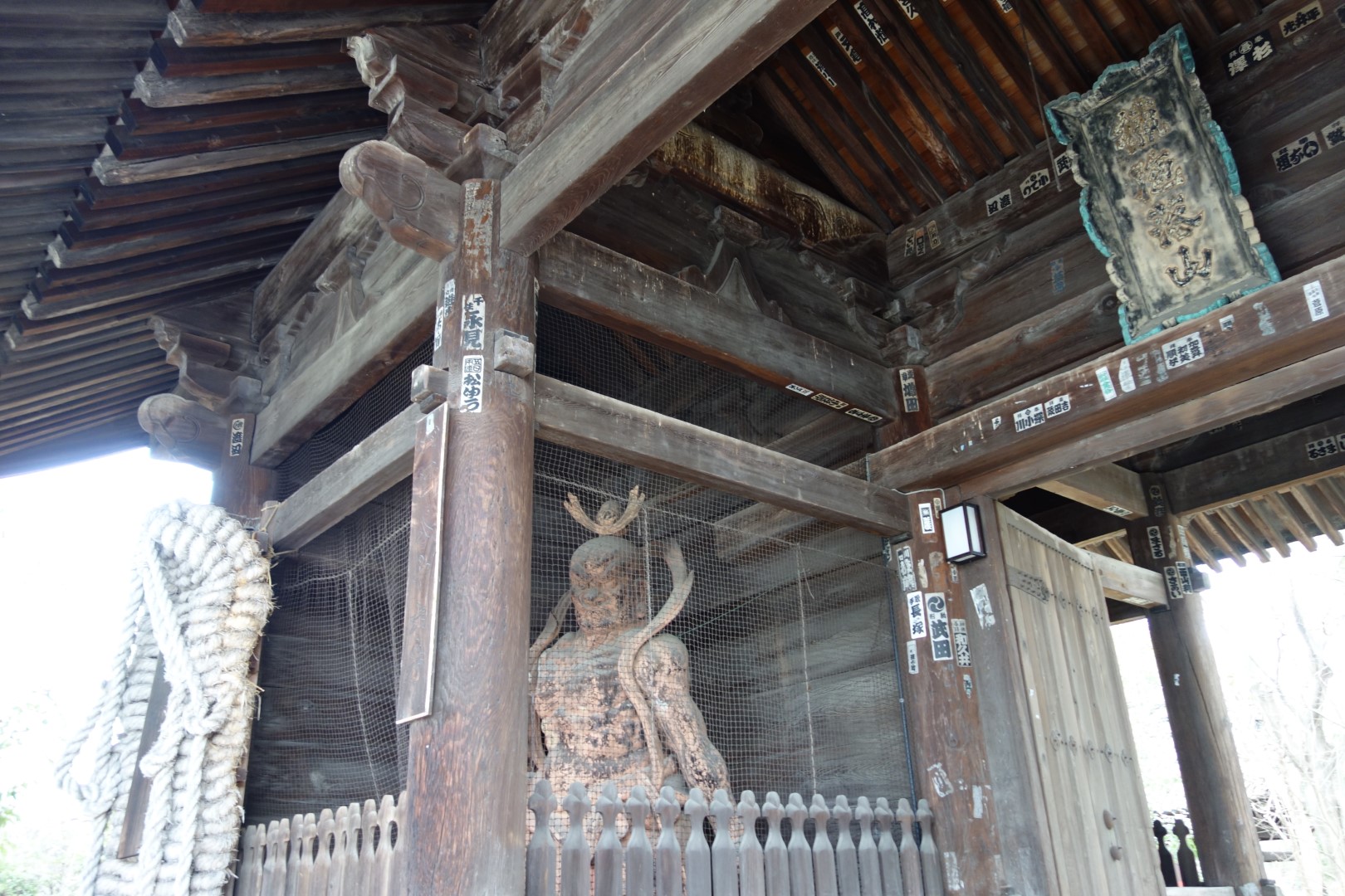
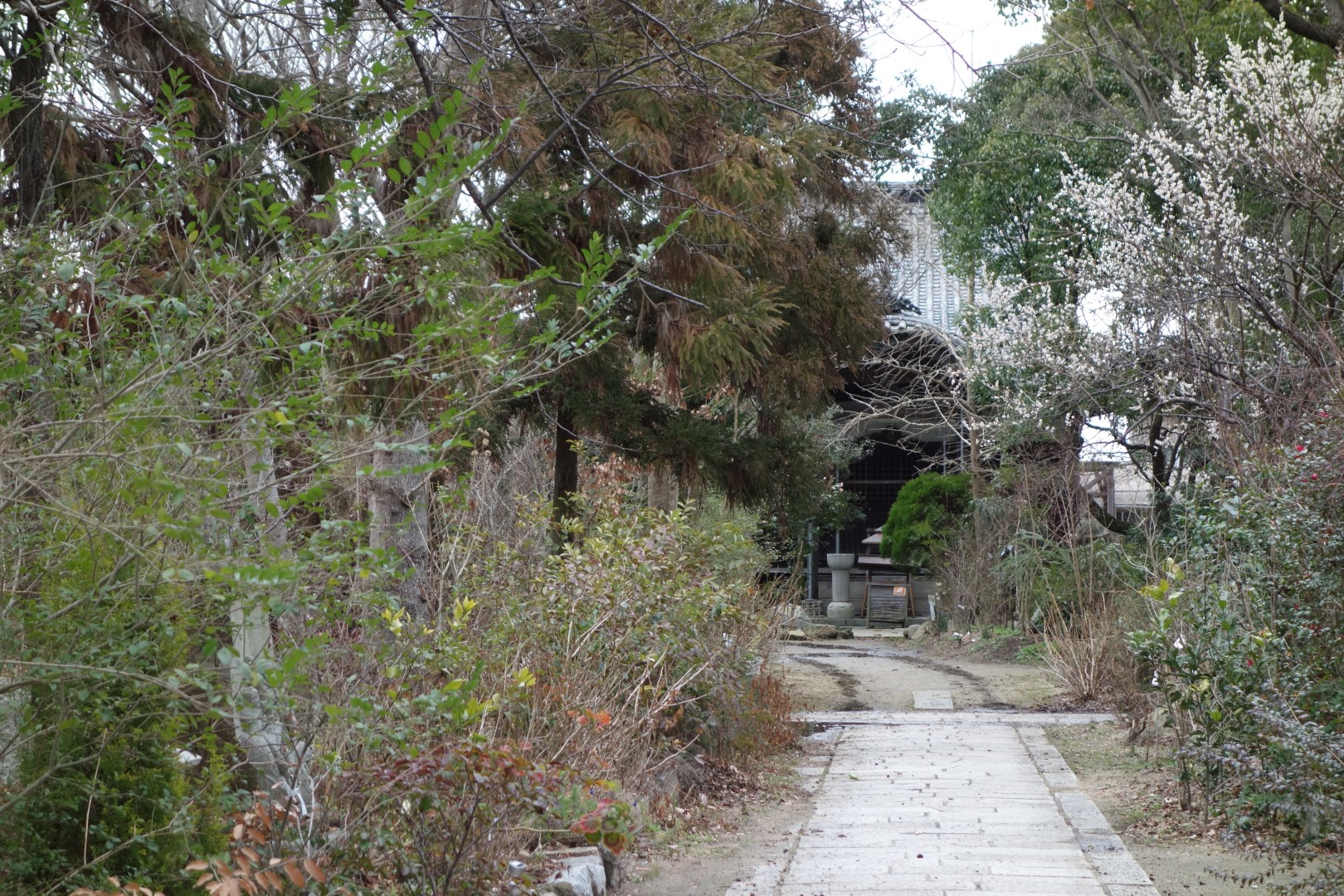
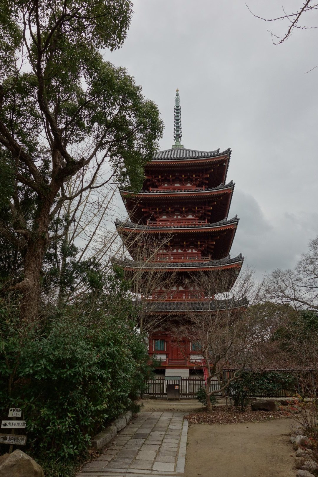
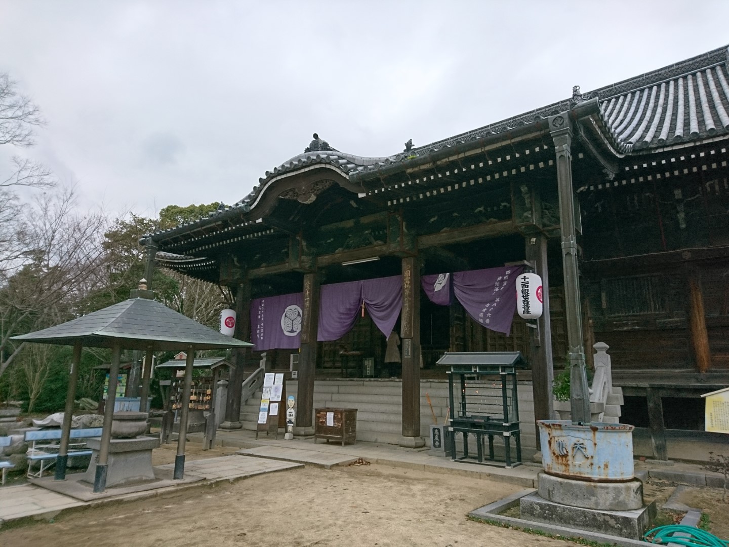
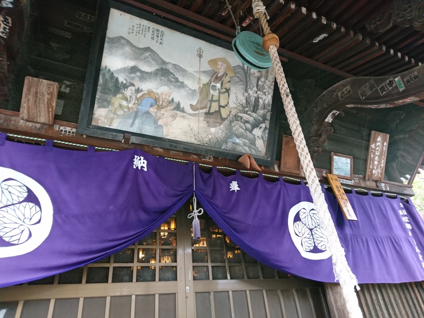
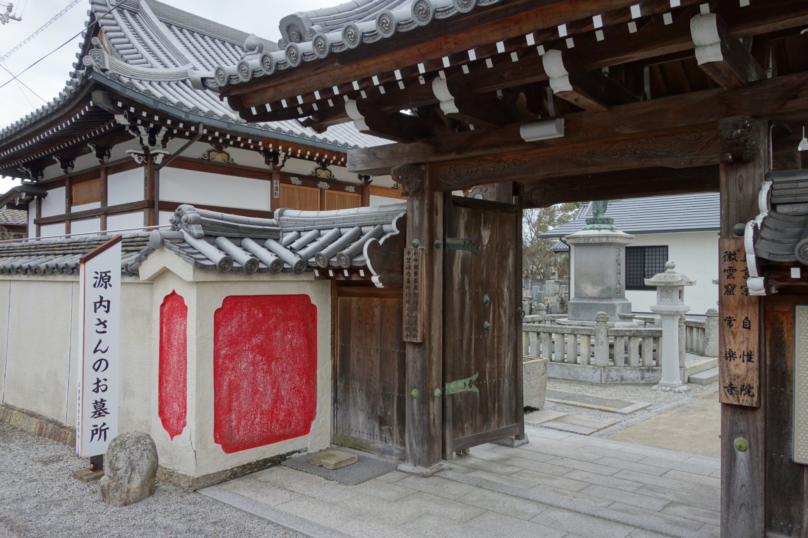
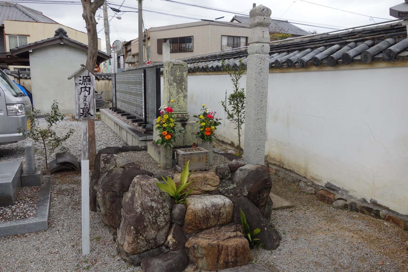
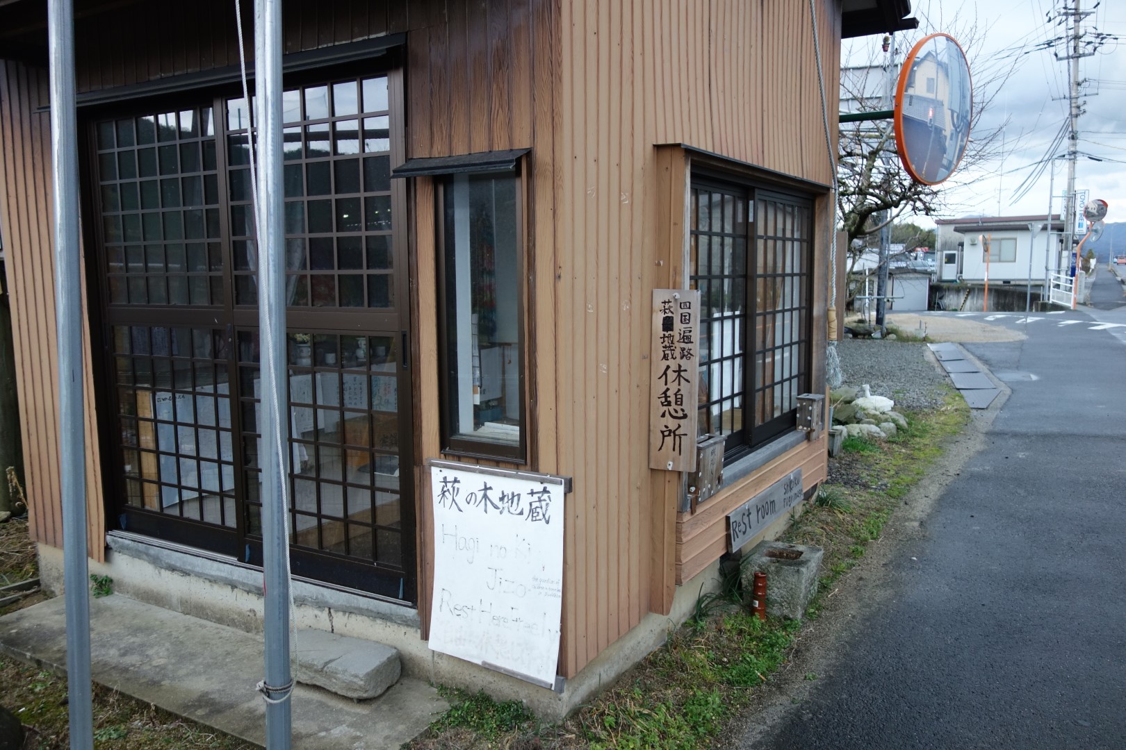
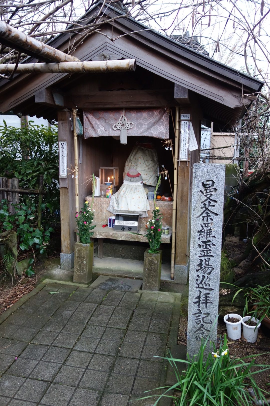
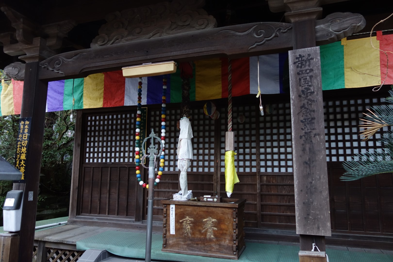
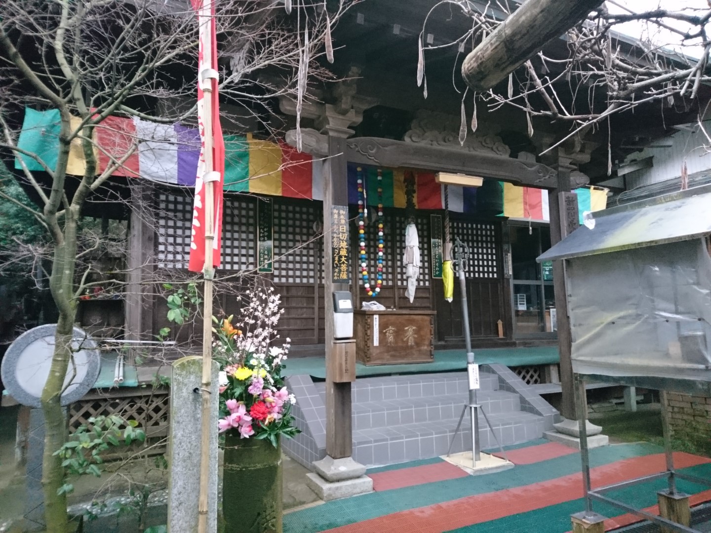
Here’re some pictures from day 33.


Recent Comments